
IMAGES TAKEN NEAR TO
Simons Path, SOUTHWOLD, IP18 6GH
Introduction
This page details the photographs taken nearby to Simons Path, IP18 6GH by members of the Geograph project.
The Geograph project started in 2005 with the aim of publishing, organising and preserving representative images for every square kilometre of Great Britain, Ireland and the Isle of Man.

There are currently over 7.5m images from over14,400 individuals and you can help contribute to the project by visiting https://www.geograph.org.uk
Image Map
Images are licensed for reuse under creativecommons.org/licenses/by-sa/2.0
Notes
- Clicking on the map will re-center to the selected point.
- The higher the marker number, the further away the image location is from the centre of the postcode.
Image Listing (935 Images Found)
Images are licensed for reuse under creativecommons.org/licenses/by-sa/2.0
Image
Details
Distance
1
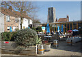
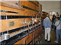
Outside at Adnams Cafe
Behind Adnams Brewery shop and cafe.
Image: © Des Blenkinsopp
Taken: 21 Mar 2022
0.01 miles
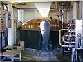
3
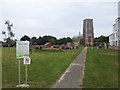
Footpath through Tibby's Green
The footpath cuts through a children's play area and leads to the church.
Image: © Helen Steed
Taken: 21 Aug 2012
0.02 miles
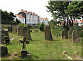
6
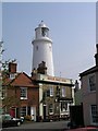
Southwold
The Sole Bay Inn, right by the gate of Adnams.
Image: © mym
Taken: 20 Apr 2003
0.02 miles
8
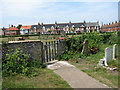
Terraced cottages in Field Stile Road, Southwold
Image: © Evelyn Simak
Taken: 23 Jun 2010
0.03 miles
9
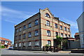
Smith & Girling's Mill
A view of the former roller flour mill (steam powered) that opened in 1894. See http://www.southwoldmuseum.org/industry%20popups/Smithandgirling_popup.htm. The flour operations were very successful but after Mr Girling died in 1918 it was sold. It became a flock mill, later producing high quality pillows, duvets and mattresses. This operation ceased in 1974 when it was converted to flats.
Image: © Ashley Dace
Taken: 4 Jul 2011
0.04 miles
10
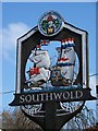
Village sign, Southwold
The sign illustrates the Battle of Sole Bay.
Image: © Maigheach-gheal
Taken: 17 Apr 2008
0.04 miles