IMAGES TAKEN NEAR TO
Great Glemham, SAXMUNDHAM, IP17 2DB
Introduction
This page details the photographs taken nearby to IP17 2DB by members of the Geograph project.
The Geograph project started in 2005 with the aim of publishing, organising and preserving representative images for every square kilometre of Great Britain, Ireland and the Isle of Man.

There are currently over 7.5m images from over14,400 individuals and you can help contribute to the project by visiting https://www.geograph.org.uk
Image Map
Images are licensed for reuse under creativecommons.org/licenses/by-sa/2.0
Notes
- Clicking on the map will re-center to the selected point.
- The higher the marker number, the further away the image location is from the centre of the postcode.
Image Listing (160 Images Found)
Images are licensed for reuse under creativecommons.org/licenses/by-sa/2.0
Image
Details
Distance
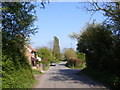
3
Church Road, Great Glemham
Looking towards Parham near the footpath to Botany Lane
Image: © Geographer
Taken: 17 Apr 2011
0.02 miles
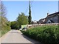
5
Church Road, Great Glemham
Looking towards Great Glemham near the footpath to Botany Lane
Image: © Geographer
Taken: 17 Apr 2011
0.03 miles
7
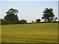
From Low Road across cornfield the tower of All Saints
Image: © Martin Dawes
Taken: 23 Jun 2022
0.14 miles
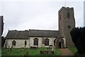
9

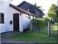
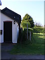
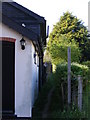
The Old Forge - cottage in Great Glemham
Image: © Evelyn Simak
Taken: 13 Jul 2011
0.15 miles
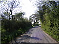
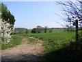
10
Low Road & the footpath to Church Road
Road No.C245
Image: © Geographer
Taken: 17 Apr 2011
0.15 miles