
IMAGES TAKEN NEAR TO
Britten Close, ALDEBURGH, IP15 5FA
Introduction
This page details the photographs taken nearby to Britten Close, IP15 5FA by members of the Geograph project.
The Geograph project started in 2005 with the aim of publishing, organising and preserving representative images for every square kilometre of Great Britain, Ireland and the Isle of Man.

There are currently over 7.5m images from over14,400 individuals and you can help contribute to the project by visiting https://www.geograph.org.uk
Image Map
Images are licensed for reuse under creativecommons.org/licenses/by-sa/2.0
Notes
- Clicking on the map will re-center to the selected point.
- The higher the marker number, the further away the image location is from the centre of the postcode.
Image Listing (91 Images Found)
Images are licensed for reuse under creativecommons.org/licenses/by-sa/2.0
Image
Details
Distance
1
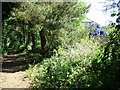
Footpath towards Thorpeness, Aldeburgh
The footpath traces the route of the railway line closed in the 1960s, and runs past the back gardens of a new housing estate.
I was impressed by the striking blue Ceanothus in this garden.
Image: © John Goldsmith
Taken: 31 May 2009
0.05 miles
4
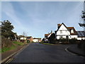
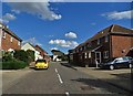
Church Farm Road, Aldeburgh
At the junction with Barley Lands
Image: © Geographer
Taken: 3 Feb 2015
0.08 miles
5
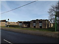
Aldeburgh Police Station
Off the B1122 Leiston Road
Image: © Geographer
Taken: 3 Feb 2015
0.09 miles
6

Aldeburgh Police Station in Leiston Road
Image: © Adrian S Pye
Taken: 26 Feb 2011
0.09 miles
7
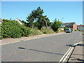
Start of footpath towards Thorpeness
Along the route of the railway line, which was axed in the Beeching cuts of the 1960s. No trace remains of the station, which was in this area.
Image: © John Goldsmith
Taken: 31 May 2009
0.10 miles
8
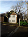
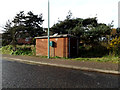
Electricity Sub-station off Church Farm Road
Image: © Geographer
Taken: 3 Feb 2015
0.10 miles
10
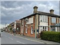
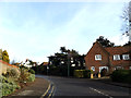
The Railway Inn, formerly Station Hotel, Aldeburgh
The public house was constructed next door to the now-demolished Aldeburgh railway station in the early 1860s.
Image: © Simon Mortimer
Taken: 13 Apr 2022
0.12 miles