
IMAGES TAKEN NEAR TO
Aspall, STOWMARKET, IP14 6NS
Introduction
This page details the photographs taken nearby to IP14 6NS by members of the Geograph project.
The Geograph project started in 2005 with the aim of publishing, organising and preserving representative images for every square kilometre of Great Britain, Ireland and the Isle of Man.

There are currently over 7.5m images from over14,400 individuals and you can help contribute to the project by visiting https://www.geograph.org.uk
Image Map
Images are licensed for reuse under creativecommons.org/licenses/by-sa/2.0
Notes
- Clicking on the map will re-center to the selected point.
- The higher the marker number, the further away the image location is from the centre of the postcode.
Image Listing (14 Images Found)
Images are licensed for reuse under creativecommons.org/licenses/by-sa/2.0
Image
Details
Distance
3
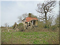
The trees and bushes which were holding it up are gone
http://www.geograph.org.uk/photo/3997942
Image: © Adrian S Pye
Taken: 8 Apr 2015
0.03 miles
4
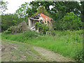
Red House Farm Cottage, Aspall: Still falling down
This house, in the parish of Aspall, seems to have deteriorated since it was last pictured: Image
Image: © Roger Jones
Taken: 26 May 2014
0.03 miles
5
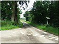
Road Junction
Road junction to Dairy Farm only near to Aspall, Suffolk.
Image: © Keith Evans
Taken: 21 Jun 2009
0.05 miles
6
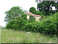
Derelict Building
Derelict building near to Aspall, Suffolk.
Image: © Keith Evans
Taken: 21 Jun 2009
0.06 miles
7
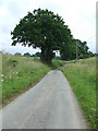
Country lane
Country road near to Aspall, Suffolk.
Image: © Keith Evans
Taken: 21 Jun 2009
0.13 miles
8
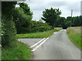
Green Road junction
Road junction near to Aspall, Suffolk.
Image: © Keith Evans
Taken: 21 Jun 2009
0.21 miles
9
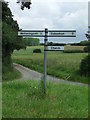
Finger Post
Finger post near to Aspall, Suffolk.
Image: © Keith Evans
Taken: 21 Jun 2009
0.21 miles
10
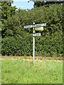
Roadsign on Little London Hill
At the junction with New Road
Image: © Geographer
Taken: 29 Aug 2015
0.22 miles