IMAGES TAKEN NEAR TO
Fressingfield Road, WOODBRIDGE, IP13 8EN
Introduction
This page details the photographs taken nearby to Fressingfield Road, IP13 8EN by members of the Geograph project.
The Geograph project started in 2005 with the aim of publishing, organising and preserving representative images for every square kilometre of Great Britain, Ireland and the Isle of Man.

There are currently over 7.5m images from over14,400 individuals and you can help contribute to the project by visiting https://www.geograph.org.uk
Image Map
Images are licensed for reuse under creativecommons.org/licenses/by-sa/2.0
Notes
- Clicking on the map will re-center to the selected point.
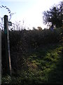
- The higher the marker number, the further away the image location is from the centre of the postcode.
Image Listing (15 Images Found)
Images are licensed for reuse under creativecommons.org/licenses/by-sa/2.0
Image
Details
Distance
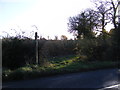
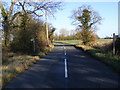
4
B1116 Laxfield Road
Looking towards the B1117 Laxfield Road near the footpaths to Verdons Lane & Cake Street
Image: © Geographer
Taken: 9 Dec 2011
0.03 miles
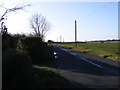
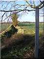
5
B1116 and footpaths to Verdons Lane & Cake Street
Image: © Geographer
Taken: 9 Dec 2011
0.03 miles
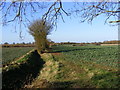
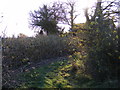
9
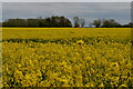
View across oilseed rape field from near Lime Tree Farm
Image: © Christopher Hilton
Taken: 9 May 2021
0.13 miles
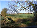
10
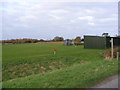
Footpath to the B1116 Laxfield Road
Off Cake Street
Image: © Geographer
Taken: 28 Nov 2011
0.16 miles