IMAGES TAKEN NEAR TO
Tannington, WOODBRIDGE, IP13 7NE
Introduction
This page details the photographs taken nearby to IP13 7NE by members of the Geograph project.
The Geograph project started in 2005 with the aim of publishing, organising and preserving representative images for every square kilometre of Great Britain, Ireland and the Isle of Man.

There are currently over 7.5m images from over14,400 individuals and you can help contribute to the project by visiting https://www.geograph.org.uk
Image Map
Images are licensed for reuse under creativecommons.org/licenses/by-sa/2.0
Notes
- Clicking on the map will re-center to the selected point.
- The higher the marker number, the further away the image location is from the centre of the postcode.
Image Listing (20 Images Found)
Images are licensed for reuse under creativecommons.org/licenses/by-sa/2.0
Image
Details
Distance
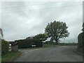
4

Tannington: Foxearth Lodge Nursing Home sign
Image: © Michael Garlick
Taken: 8 May 2020
0.10 miles
5

Foxearth Lodge Nursing Home sign, Saxtead
http://www.foxearthlodge.com/
Image: © Geographer
Taken: 8 Jun 2010
0.10 miles
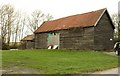
6
Foxearth Lodge Nursing Home, Saxtead
http://www.foxearthlodge.com/
Image: © Geographer
Taken: 8 Jun 2010
0.10 miles
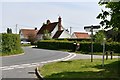
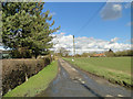
7
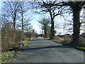
Minor Road
Minor road looking south near to Saxstead Little Green, Suffolk.
Image: © Keith Evans
Taken: 7 Mar 2010
0.13 miles
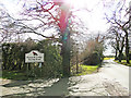
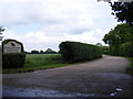
8
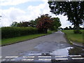
Dog Lane, Saxtead
At the junction with Chapel Road
Image: © Geographer
Taken: 8 Jun 2010
0.13 miles