IMAGES TAKEN NEAR TO
Grundisburgh, WOODBRIDGE, IP13 6RW
Introduction
This page details the photographs taken nearby to IP13 6RW by members of the Geograph project.
The Geograph project started in 2005 with the aim of publishing, organising and preserving representative images for every square kilometre of Great Britain, Ireland and the Isle of Man.

There are currently over 7.5m images from over14,400 individuals and you can help contribute to the project by visiting https://www.geograph.org.uk
Image Map
Images are licensed for reuse under creativecommons.org/licenses/by-sa/2.0
Notes
- Clicking on the map will re-center to the selected point.
- The higher the marker number, the further away the image location is from the centre of the postcode.
Image Listing (12 Images Found)
Images are licensed for reuse under creativecommons.org/licenses/by-sa/2.0
Image
Details
Distance
1
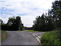
Wood Farm Lane, Grundisburgh
At the junction with Gull Lane
Image: © Geographer
Taken: 19 Aug 2011
0.03 miles
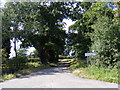
5
Gull Lane, Grundisburgh
At the junction with Wood Farm Lane
Image: © Geographer
Taken: 19 Aug 2011
0.03 miles
6
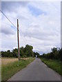
Gull Lane, Grundisburgh
Looking towards Ipswich Road near to the footpath to Ipswich Road
Image: © Geographer
Taken: 25 Aug 2011
0.04 miles
8
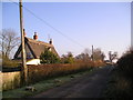
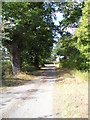
Squeech Lane Grundisburgh
The rather splendidly named Squeech Farm Cottage on Squeech Lane, Grundisburgh. The white cottage in the distance is called Little Squeech.
Image: © Chris Holifield
Taken: 30 Dec 2008
0.22 miles
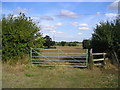
9
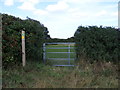
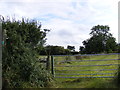
Field entrance off Gull Lane and footpath sign
Image: © Geographer
Taken: 19 Aug 2011
0.22 miles