IMAGES TAKEN NEAR TO
Bakers Pasture, WOODBRIDGE, IP13 6PS
Introduction
This page details the photographs taken nearby to Bakers Pasture, IP13 6PS by members of the Geograph project.
The Geograph project started in 2005 with the aim of publishing, organising and preserving representative images for every square kilometre of Great Britain, Ireland and the Isle of Man.

There are currently over 7.5m images from over14,400 individuals and you can help contribute to the project by visiting https://www.geograph.org.uk
Image Map
Images are licensed for reuse under creativecommons.org/licenses/by-sa/2.0
Notes
- Clicking on the map will re-center to the selected point.
- The higher the marker number, the further away the image location is from the centre of the postcode.
Image Listing (146 Images Found)
Images are licensed for reuse under creativecommons.org/licenses/by-sa/2.0
Image
Details
Distance
1
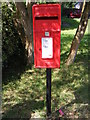
Orchard End Postbox
Postbox No.IP13 6396
Image: © Geographer
Taken: 19 Aug 2011
0.02 miles
2
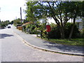
Orchard End & Orchard End Postbox
Postbox No.IP13 6396
Image: © Geographer
Taken: 19 Aug 2011
0.02 miles
3
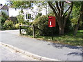
Orchard End Postbox
Postbox No.IP13 6396
Image: © Geographer
Taken: 19 Aug 2011
0.02 miles
4
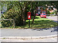
Orchard End Postbox
Postbox No.IP13 6396
Image: © Geographer
Taken: 19 Aug 2011
0.02 miles
5
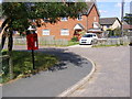
Bakers Pasture & Orchard End Postbox
Postbox No.IP13 6396
Image: © Geographer
Taken: 19 Aug 2011
0.02 miles
6
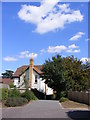
Path to the B1079 Woodbridge Road
Off Orchard End
Image: © Geographer
Taken: 19 Aug 2011
0.03 miles
7
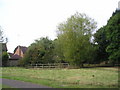
Lyttelton Meadow, Grundisburgh
This small meadow near Gurdon Road in Grundisburgh is kept as a wildlife area. I believe it is named after Pamela Lyttelton, who lived in the village with her husband George William Lyttelton http://en.wikipedia.org/wiki/George_William_Lyttelton . Their son was "Chairman Humph" Lyttelton, jazz trumpeter and radio presenter. Grundisburgh is a fine village with a long and illustrious history. The name Grundisburgh means the burgh, or fortified enclosure of Grundi or Grundy. The fortification was probably intended as a defence against local Archers.
Image: © Chris Holifield
Taken: 20 Sep 2009
0.05 miles
8
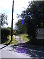
Path to Orchard End
Off the B1079 Woodbridge Road
Image: © Geographer
Taken: 19 Aug 2011
0.08 miles
9
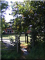
Path to Orchard End
Off the B1079 Woodbridge Road
Image: © Geographer
Taken: 19 Aug 2011
0.08 miles