
IMAGES TAKEN NEAR TO
East Lane, WOODBRIDGE, IP13 6EB
Introduction
This page details the photographs taken nearby to East Lane, IP13 6EB by members of the Geograph project.
The Geograph project started in 2005 with the aim of publishing, organising and preserving representative images for every square kilometre of Great Britain, Ireland and the Isle of Man.

There are currently over 7.5m images from over14,400 individuals and you can help contribute to the project by visiting https://www.geograph.org.uk
Image Map
Images are licensed for reuse under creativecommons.org/licenses/by-sa/2.0
Notes
- Clicking on the map will re-center to the selected point.
- The higher the marker number, the further away the image location is from the centre of the postcode.
Image Listing (32 Images Found)
Images are licensed for reuse under creativecommons.org/licenses/by-sa/2.0
Image
Details
Distance
2
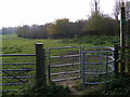
Footpath to The Assumption, Barrack Lane & Lower Street
Off East Lane
Image: © Geographer
Taken: 26 Nov 2010
0.05 miles
3
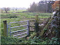
Footpath to Low Road
Off East Lane, Ufford
Image: © Geographer
Taken: 26 Nov 2010
0.05 miles
5

River Deben at Ufford
Looking downstream towards Ufford Watermill. Image
Image: © Adrian S Pye
Taken: 11 May 2021
0.08 miles
6
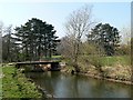
Footbridge over Deben
Concrete footbridge and farm bridge over the river Deben
Image: © Richard Mudhar
Taken: 27 Mar 2007
0.09 miles
7

Ufford watermill
The former watermill was constructed in the 18th century. It is timber framed with clapboarded covering. The gambrel roof has plain tiles to its lower pitch and pantiles to the top. There are two storeys with an attic. The mill race is on the left with a cambered head enclosing mid 20th century cast iron undershot waterwheel. https://www.geograph.org.uk/photo/6834801
Photographed with the owner's permission.
Image: © Adrian S Pye
Taken: 11 May 2021
0.11 miles
8
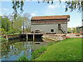
Ufford watermill
The former watermill was constructed in the 18th century. It is timber framed with clapboarded covering. The gambrel roof has plain tiles to its lower pitch and pantiles to the top. There are two storeys with an attic. The mill race is on the left with a cambered head enclosing mid 20th century cast iron undershot waterwheel. https://www.geograph.org.uk/photo/6834798
Photographed with the owner's permission.
Image: © Adrian S Pye
Taken: 11 May 2021
0.11 miles
9
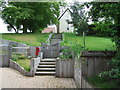
Strawberry Hill
Steps to a private house called Strawberry Hill at Ufford, Suffolk.
Image: © Keith Evans
Taken: 11 May 2014
0.12 miles
