
IMAGES TAKEN NEAR TO
Wickham Market, WOODBRIDGE, IP13 0ND
Introduction
This page details the photographs taken nearby to IP13 0ND by members of the Geograph project.
The Geograph project started in 2005 with the aim of publishing, organising and preserving representative images for every square kilometre of Great Britain, Ireland and the Isle of Man.

There are currently over 7.5m images from over14,400 individuals and you can help contribute to the project by visiting https://www.geograph.org.uk
Image Map
Images are licensed for reuse under creativecommons.org/licenses/by-sa/2.0
Notes
- Clicking on the map will re-center to the selected point.
- The higher the marker number, the further away the image location is from the centre of the postcode.
Image Listing (40 Images Found)
Images are licensed for reuse under creativecommons.org/licenses/by-sa/2.0
Image
Details
Distance
2
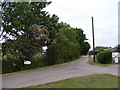
Valley Road to the entrance of Valley Farm
Road No.U2102
Image: © Geographer
Taken: 16 May 2011
0.05 miles
3
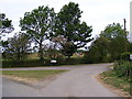
Valley Road, Wickham Market
Near Valley Farm
Road No.U2102
Image: © Geographer
Taken: 16 May 2011
0.05 miles
4
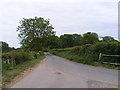
Valley Road, Wickham Market
Looking towards the B1078 Border Cot Lane near Valley Farm
Road No.U2102
Image: © Geographer
Taken: 16 May 2011
0.05 miles
5
Valley Road, Wickham Market
Looking towards the B1078 Charsfield Road
Road No.U2102
Image: © Geographer
Taken: 16 May 2011
0.10 miles
6

Valley Farmhouse
https://historicengland.org.uk/listing/the-list/list-entry/1198389?section=official-list-entry
Image: © Sandy Gerrard
Taken: 23 Apr 2025
0.10 miles
7
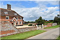
Farmhouse at Valley Farm, Wickham Market
The farmhouse is a Grade II Listed Building. The impressive Georgian brick facade was added to a 16th Century timber-framed building.
Image: © Simon Mortimer
Taken: 27 May 2019
0.10 miles
8
Valley Road, Wickham Market
Looking towards Valley Farm
Road No.2102
Image: © Geographer
Taken: 16 May 2011
0.11 miles
9
Valley Road, Wickham Market
Looking towards Valley Farm
Road No.U2102
Image: © Geographer
Taken: 16 May 2011
0.11 miles
10
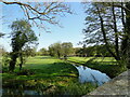
River Deben upstream from Glevering Bridge
A footbridge over the river connects both sides of the river and the parts of the seven green, 9 or 18 hole, 52 par golf course with the mill stream running alongside.
Image: © Adrian S Pye
Taken: 11 May 2021
0.16 miles