
IMAGES TAKEN NEAR TO
Ash Road, WOODBRIDGE, IP13 0AA
Introduction
This page details the photographs taken nearby to Ash Road, IP13 0AA by members of the Geograph project.
The Geograph project started in 2005 with the aim of publishing, organising and preserving representative images for every square kilometre of Great Britain, Ireland and the Isle of Man.

There are currently over 7.5m images from over14,400 individuals and you can help contribute to the project by visiting https://www.geograph.org.uk
Image Map
Images are licensed for reuse under creativecommons.org/licenses/by-sa/2.0
Notes
- Clicking on the map will re-center to the selected point.
- The higher the marker number, the further away the image location is from the centre of the postcode.
Image Listing (71 Images Found)
Images are licensed for reuse under creativecommons.org/licenses/by-sa/2.0
Image
Details
Distance
1
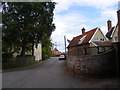
Ash Road, Lower Hatcheston
Looking towards the B1078 Main Road
Image: © Geographer
Taken: 12 May 2011
0.01 miles
3
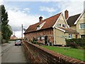
Timber-framed building
This old timber-framed building is at Bridge Farm, Lower Hacheston in Suffolk.
Image: © Adrian S Pye
Taken: 27 Aug 2010
0.02 miles
4
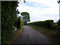
Ash Road, Lower Hatcheston
Looking towards the A12 Wickham Market Bypass near the footpath to Quill Farm
Image: © Geographer
Taken: 12 May 2011
0.03 miles
5
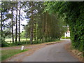
Ash Road, Lower Hacheston & the footpath to Quill Farm
Looking towards the B1078 Lower Street
Image: © Geographer
Taken: 12 May 2011
0.04 miles
6
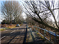
Once the high road to (Campsey) Ashe
As the name sign shows, this is now an impasse (as the French say) or cul-de-sac (which the French don't say, at least not to mean a No Through Road). Its passage is now blocked by the Image Campsey Ashe is alternatively spelt Campsea Ashe and is home to a rail station Image, which used to be misleadingly labelled "Wickham Market for Campsea Ashe"!
Image: © Zorba the Geek
Taken: 4 Feb 2009
0.04 miles
7

Flush Bracket G 1575 Wickham Market Bridge Farm
Flush Bracket number OSBM G 1575, NW angle of Barn.
Image: © Cud05
Taken: 28 May 2016
0.04 miles
9
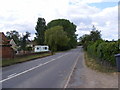
B1078 Main Road
Looking towards Wickham Market near Marsh House and the Bridleway to Easton Road
Image: © Geographer
Taken: 12 May 2011
0.05 miles
10
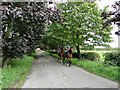
Afternoon ride
These riders were taking an afternoon ride at Lower Hacheston, Suffolk
Image: © Adrian S Pye
Taken: 27 Aug 2010
0.06 miles