
IMAGES TAKEN NEAR TO
Ferry Road, WOODBRIDGE, IP12 2BS
Introduction
This page details the photographs taken nearby to Ferry Road, IP12 2BS by members of the Geograph project.
The Geograph project started in 2005 with the aim of publishing, organising and preserving representative images for every square kilometre of Great Britain, Ireland and the Isle of Man.

There are currently over 7.5m images from over14,400 individuals and you can help contribute to the project by visiting https://www.geograph.org.uk
Image Map
Images are licensed for reuse under creativecommons.org/licenses/by-sa/2.0
Notes
- Clicking on the map will re-center to the selected point.
- The higher the marker number, the further away the image location is from the centre of the postcode.
Image Listing (9 Images Found)
Images are licensed for reuse under creativecommons.org/licenses/by-sa/2.0
Image
Details
Distance
1
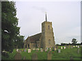
All Saints Church, Sudbourne, Suffolk
Like a number of other local churches, All Saints is remote from the village of Sudbourne. There has been a church on this site since Saxon times, although the current one was almost completely rebuilt in the 19th century.
Image: © John Winfield
Taken: 26 Aug 2005
0.06 miles
2
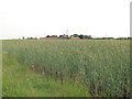
Arable Land southwest of Lodge Farm
The cereal crop is barley.
Image: © Stuart Logan
Taken: 25 Jun 2013
0.07 miles
3
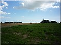
Farmland at Lodge Farm
Behind, the phased array of the medium wave masts at Orfordness is visible.
Image: © DS Pugh
Taken: 29 Jul 2012
0.07 miles
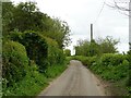
6
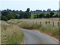
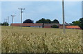
South along Ferry Road towards Orford
St Bartholomew's Church on the left, with Orford Castle on the right.
Image: © Mat Fascione
Taken: 28 Jun 2018
0.15 miles
9
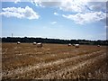
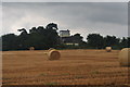
Bales near Lodge Farm
Looking at a field of stubble with baling completed on a hot, dusty day.
Image: © DS Pugh
Taken: 29 Jul 2012
0.23 miles