IMAGES TAKEN NEAR TO
Bucklesham Road, IPSWICH, IP10 0AT
Introduction
This page details the photographs taken nearby to Bucklesham Road, IP10 0AT by members of the Geograph project.
The Geograph project started in 2005 with the aim of publishing, organising and preserving representative images for every square kilometre of Great Britain, Ireland and the Isle of Man.

There are currently over 7.5m images from over14,400 individuals and you can help contribute to the project by visiting https://www.geograph.org.uk
Image Map
Images are licensed for reuse under creativecommons.org/licenses/by-sa/2.0
Notes
- Clicking on the map will re-center to the selected point.
- The higher the marker number, the further away the image location is from the centre of the postcode.
Image Listing (16 Images Found)
Images are licensed for reuse under creativecommons.org/licenses/by-sa/2.0
Image
Details
Distance
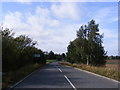
1
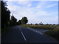
Bucklesham Road, Foxhall
At the junction with Hall Road
Image: © Geographer
Taken: 10 Oct 2011
0.03 miles
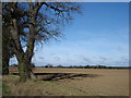
2
Bridleway to the A1156
Off Bucklesham Road
Image: © Geographer
Taken: 10 Oct 2011
0.03 miles
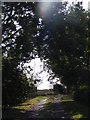
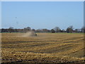
3
Bridleway to the A1156
Off Bucklesham Road
Image: © Geographer
Taken: 10 Oct 2011
0.03 miles
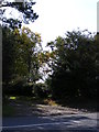
4
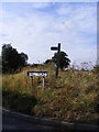
Hall Road & Bridleway signs
At the junction with Bucklesham Road
Image: © Geographer
Taken: 10 Oct 2011
0.04 miles
5
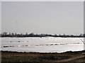
Protecting the crops under plastic sheeting
Image: © Oxymoron
Taken: 16 Mar 2009
0.06 miles
10
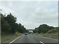
A12 towards Seven Hills Interchange
Looking south from the bridge on Bucklesham Road.
Image: © JThomas
Taken: 13 May 2023
0.19 miles