IMAGES TAKEN NEAR TO
Oak Avenue, SOWERBY BRIDGE, HX6 2HZ
Introduction
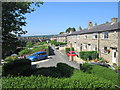
This page details the photographs taken nearby to Oak Avenue, HX6 2HZ by members of the Geograph project.
The Geograph project started in 2005 with the aim of publishing, organising and preserving representative images for every square kilometre of Great Britain, Ireland and the Isle of Man.

There are currently over 7.5m images from over14,400 individuals and you can help contribute to the project by visiting https://www.geograph.org.uk
Image Map
Images are licensed for reuse under creativecommons.org/licenses/by-sa/2.0
Notes
- Clicking on the map will re-center to the selected point.
- The higher the marker number, the further away the image location is from the centre of the postcode.
Image Listing (116 Images Found)
Images are licensed for reuse under creativecommons.org/licenses/by-sa/2.0
Image
Details
Distance
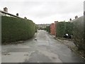
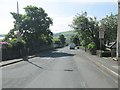
1
Beech Avenue - viewed from Albert Road
Image: © Betty Longbottom
Taken: 31 May 2014
0.03 miles
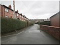
6
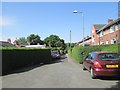
Poplar Avenue - viewed from off Albert Road
Image: © Betty Longbottom
Taken: 31 May 2014
0.05 miles

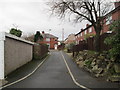

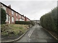
10
Plane Tree Road - looking up towards Burnley Road
Image: © Betty Longbottom
Taken: 26 Jan 2015
0.07 miles