IMAGES TAKEN NEAR TO
Goldfields Way, HALIFAX, HX4 8LA
Introduction
This page details the photographs taken nearby to Goldfields Way, HX4 8LA by members of the Geograph project.
The Geograph project started in 2005 with the aim of publishing, organising and preserving representative images for every square kilometre of Great Britain, Ireland and the Isle of Man.

There are currently over 7.5m images from over14,400 individuals and you can help contribute to the project by visiting https://www.geograph.org.uk
Image Map
Images are licensed for reuse under creativecommons.org/licenses/by-sa/2.0
Notes
- Clicking on the map will re-center to the selected point.
- The higher the marker number, the further away the image location is from the centre of the postcode.
Image Listing (95 Images Found)
Images are licensed for reuse under creativecommons.org/licenses/by-sa/2.0
Image
Details
Distance
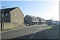
5
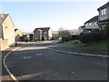
Goldfields Way - viewed from Goldfields Avenue
Image: © Betty Longbottom
Taken: 20 Nov 2013
0.05 miles
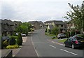
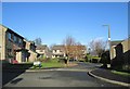
8
Highfield Avenue - off School Street
Image: © Betty Longbottom
Taken: 20 Nov 2013
0.08 miles
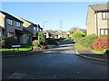
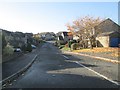
9
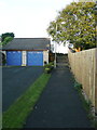
Elland FP116 from Goldfields Close to Stony Lane, Greetland
This is the remaining part of a footpath that formerly went along the edge of fields from Rochdale Road to Stony Lane.
Image: © Humphrey Bolton
Taken: 25 Nov 2015
0.08 miles
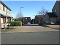
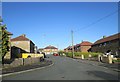
10
Goldfields Avenue - viewed from Goldfields Way
Image: © Betty Longbottom
Taken: 20 Nov 2013
0.08 miles