IMAGES TAKEN NEAR TO
Rishworth Road, HALIFAX, HX4 0HU
Introduction
This page details the photographs taken nearby to Rishworth Road, HX4 0HU by members of the Geograph project.
The Geograph project started in 2005 with the aim of publishing, organising and preserving representative images for every square kilometre of Great Britain, Ireland and the Isle of Man.

There are currently over 7.5m images from over14,400 individuals and you can help contribute to the project by visiting https://www.geograph.org.uk
Image Map
Images are licensed for reuse under creativecommons.org/licenses/by-sa/2.0
Notes
- Clicking on the map will re-center to the selected point.
- The higher the marker number, the further away the image location is from the centre of the postcode.
Image Listing (8 Images Found)
Images are licensed for reuse under creativecommons.org/licenses/by-sa/2.0
Image
Details
Distance
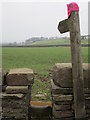
1
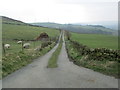
Rishworth Road - viewed from Fiddle Lane
Image: © Betty Longbottom
Taken: 18 Mar 2015
0.09 miles
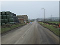
2
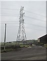
Electricity Pylon - viewed from Rishworth Road
Image: © Betty Longbottom
Taken: 18 Mar 2015
0.10 miles
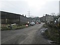
5
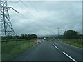
B6114 junction with Rishworth Road, and pylons
Image: © Colin Pyle
Taken: 2 Aug 2017
0.12 miles
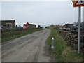
6
Rishworth Road - viewed from Fiddle Lane
Image: © Betty Longbottom
Taken: 18 Mar 2015
0.13 miles
7
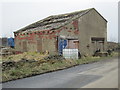
Derelict Farm Building - Rishworth Road
Image: © Betty Longbottom
Taken: 18 Mar 2015
0.18 miles