IMAGES TAKEN NEAR TO
Laurel Bank, HALIFAX, HX2 6PS
Introduction
This page details the photographs taken nearby to Laurel Bank, HX2 6PS by members of the Geograph project.
The Geograph project started in 2005 with the aim of publishing, organising and preserving representative images for every square kilometre of Great Britain, Ireland and the Isle of Man.

There are currently over 7.5m images from over14,400 individuals and you can help contribute to the project by visiting https://www.geograph.org.uk
Image Map
Images are licensed for reuse under creativecommons.org/licenses/by-sa/2.0
Notes
- Clicking on the map will re-center to the selected point.
- The higher the marker number, the further away the image location is from the centre of the postcode.
Image Listing (148 Images Found)
Images are licensed for reuse under creativecommons.org/licenses/by-sa/2.0
Image
Details
Distance
1
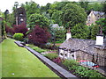
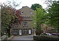
Luddenden Village
Looking N from the bottom of Old Lane, Luddenden. The white building in the foreground is the Lord Nelson public house. Beyond that is the war memorial and in the background is St Mary's Church.
Image: © Mark Anderson
Taken: 14 Jun 2005
0.03 miles
5
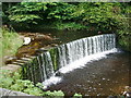
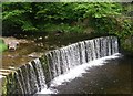
Weir on Luddenden Brook
As viewed from St Mary's graveyard
Image: © Alexander P Kapp
Taken: 25 Sep 2008
0.04 miles
6
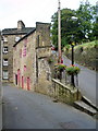
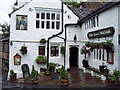
Wedge of a building
Banded on the front by High Street and on the back by Stocks Lane
Image: © Alexander P Kapp
Taken: 25 Sep 2008
0.04 miles
7
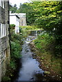
Luddenden Brook
Looking upstream from High Street
Image: © Alexander P Kapp
Taken: 25 Sep 2008
0.04 miles
8
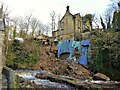
Landslip at Old Vicarage
Occurred in December 2022 with substantial debris in Luddenden Brook. The tarpaulins have been added lately to try prevent further rainwater ingress and erosion. There is another landslip across the nearby High Street which has blocked the road for nearly a year whilst responsibilities are argued.
Image: © Kevin Waterhouse
Taken: 14 Jan 2023
0.04 miles
9
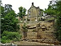
Work on landslip at old vicarage
The Environment Agency contractors have cleared Luddenden Brook and removed loose rock from the exposed cliff.
Image: © Kevin Waterhouse
Taken: 17 Jun 2023
0.04 miles