IMAGES TAKEN NEAR TO
Parkinson Lane, HALIFAX, HX1 3UB
Introduction
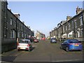
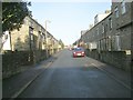
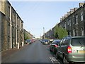
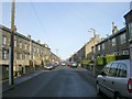
This page details the photographs taken nearby to Parkinson Lane, HX1 3UB by members of the Geograph project.
The Geograph project started in 2005 with the aim of publishing, organising and preserving representative images for every square kilometre of Great Britain, Ireland and the Isle of Man.

There are currently over 7.5m images from over14,400 individuals and you can help contribute to the project by visiting https://www.geograph.org.uk
Image Map (Loading...)


Getting Data...Please wait
Leaflet Map data © OpenStreetMap
Images are licensed for reuse under creativecommons.org/licenses/by-sa/2.0
Notes
- Clicking on the map will re-center to the selected point.
- The higher the marker number, the further away the image location is from the centre of the postcode.
Image Listing (202 Images Found)
Images are licensed for reuse under creativecommons.org/licenses/by-sa/2.0
Image
Details
Distance
3
Line of the Halifax High Level Railway near Kingston Close
The high wall in the middle of the picture shows that the railway was in a cutting.
Image: © Alan Longbottom
Taken: 31 May 2010
0.03 miles