IMAGES TAKEN NEAR TO
Porlock Drive, HULL, HU7 4HZ
Introduction
This page details the photographs taken nearby to Porlock Drive, HU7 4HZ by members of the Geograph project.
The Geograph project started in 2005 with the aim of publishing, organising and preserving representative images for every square kilometre of Great Britain, Ireland and the Isle of Man.

There are currently over 7.5m images from over14,400 individuals and you can help contribute to the project by visiting https://www.geograph.org.uk
Image Map
Images are licensed for reuse under creativecommons.org/licenses/by-sa/2.0
Notes
- Clicking on the map will re-center to the selected point.
- The higher the marker number, the further away the image location is from the centre of the postcode.
Image Listing (142 Images Found)
Images are licensed for reuse under creativecommons.org/licenses/by-sa/2.0
Image
Details
Distance
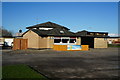
1
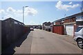
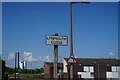
Lynmouth Close off Minehead Road, Hull
https://www.geograph.org.uk/photo/6867578
Image: © Ian S
Taken: 5 Jun 2021
0.05 miles
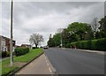
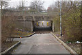
3
St John's Church, Wawne Road, Bransholme, Hull
Image: © Ian S
Taken: 19 Nov 2013
0.06 miles
5
Lynmouth Close off Minehead Road, Hull
https://www.geograph.org.uk/photo/6867577
Image: © Ian S
Taken: 5 Jun 2021
0.06 miles
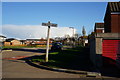
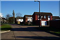
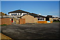
8
Porlock Drive off Minehead Road, Hull
https://www.geograph.org.uk/photo/6867574
Image: © Ian S
Taken: 5 Jun 2021
0.08 miles
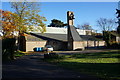
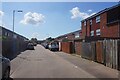
10
The Swallow public house on Wawne Road, Hull
Image: © Ian S
Taken: 19 Nov 2013
0.08 miles