IMAGES TAKEN NEAR TO
The Ridings, COTTINGHAM, HU16 5NW
Introduction
This page details the photographs taken nearby to The Ridings, HU16 5NW by members of the Geograph project.
The Geograph project started in 2005 with the aim of publishing, organising and preserving representative images for every square kilometre of Great Britain, Ireland and the Isle of Man.

There are currently over 7.5m images from over14,400 individuals and you can help contribute to the project by visiting https://www.geograph.org.uk
Image Map
Images are licensed for reuse under creativecommons.org/licenses/by-sa/2.0
Notes
- Clicking on the map will re-center to the selected point.
- The higher the marker number, the further away the image location is from the centre of the postcode.
Image Listing (61 Images Found)
Images are licensed for reuse under creativecommons.org/licenses/by-sa/2.0
Image
Details
Distance
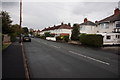
1
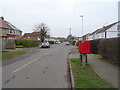
St Margaret's Drive, Cottingham
Looking north showing position of Postbox No. HU16 209.
Image: © JThomas
Taken: 1 Mar 2019
0.07 miles
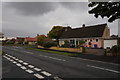
3
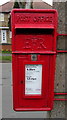
Close up Elizabeth II postbox on St Margaret's Drive, Cottingham
Postbox No. HU16 209.
Image: © JThomas
Taken: 1 Mar 2019
0.07 miles
4
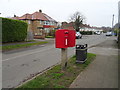
Elizabeth II postbox on St Margaret's Drive, Cottingham
Postbox No. HU16 209.
Image: © JThomas
Taken: 1 Mar 2019
0.08 miles
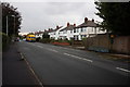
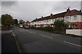
5
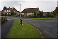
Churchill Avenue off St Margaret's Avenue, Cottingham
Image: © Ian S
Taken: 14 Oct 2016
0.08 miles
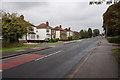
6
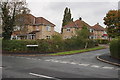
St Margaret's Close off St Margaret's Avenue, Cottingham
Image: © Ian S
Taken: 14 Oct 2016
0.08 miles