
IMAGES TAKEN NEAR TO
Cross Skigersta Road, ISLE OF LEWIS, HS2 0TB
Introduction
This page details the photographs taken nearby to Cross Skigersta Road, HS2 0TB by members of the Geograph project.
The Geograph project started in 2005 with the aim of publishing, organising and preserving representative images for every square kilometre of Great Britain, Ireland and the Isle of Man.

There are currently over 7.5m images from over14,400 individuals and you can help contribute to the project by visiting https://www.geograph.org.uk
Image Map
Images are licensed for reuse under creativecommons.org/licenses/by-sa/2.0
Notes
- Clicking on the map will re-center to the selected point.
- The higher the marker number, the further away the image location is from the centre of the postcode.
Image Listing (7 Images Found)
Images are licensed for reuse under creativecommons.org/licenses/by-sa/2.0
Image
Details
Distance
3
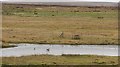
Loch na Muilne
Geese on a lochan behind Suainebost.
Image: © Richard Webb
Taken: 12 Apr 2010
0.14 miles
4
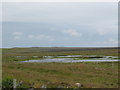
Loch na Muilne
This swampy depression on the edge of the peat moors hardly deserves the title of 'loch'. A few black headed gulls seemed to quite like it.
Image: © Gordon Hatton
Taken: 16 Jul 2007
0.15 miles
5
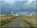
Approach to Suainebost from the peat moors
A long moorland track about to reach civilisation again.
Image: © John Allan
Taken: 20 Oct 2010
0.19 miles
6
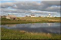
Unnamed Lochan at Suainebost
In the background is the water tower above Cnoc Glas.
Image: © Anne Burgess
Taken: 2 Jun 2009
0.24 miles
7
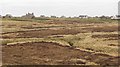
Abhainn Shuaineboist
Burn flowing through peat country behind Suainebost.
Image: © Richard Webb
Taken: 12 Apr 2010
0.24 miles