
IMAGES TAKEN NEAR TO
Munsley, LEDBURY, HR8 2SQ
Introduction
This page details the photographs taken nearby to HR8 2SQ by members of the Geograph project.
The Geograph project started in 2005 with the aim of publishing, organising and preserving representative images for every square kilometre of Great Britain, Ireland and the Isle of Man.

There are currently over 7.5m images from over14,400 individuals and you can help contribute to the project by visiting https://www.geograph.org.uk
Image Map
Images are licensed for reuse under creativecommons.org/licenses/by-sa/2.0
Notes
- Clicking on the map will re-center to the selected point.
- The higher the marker number, the further away the image location is from the centre of the postcode.
Image Listing (86 Images Found)
Images are licensed for reuse under creativecommons.org/licenses/by-sa/2.0
Image
Details
Distance
1
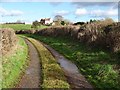
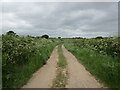
Right of way and green lane
Right of way and green lane with Munsley Court on rising ground in the background.
Image: © Philip Halling
Taken: 28 Jan 2019
0.12 miles
2
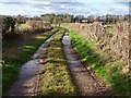
Green lane at Munsley
Green lane and right of way between Munsley and Ashperton.
Image: © Philip Halling
Taken: 28 Jan 2019
0.13 miles
3
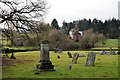
Lower Court, Munsley
Seen from the churchyard. Obviously an ancient site, but not protected by listing.
Image: © Philip Pankhurst
Taken: 27 Dec 2016
0.15 miles
4
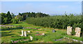
View from the churchyard
Beyond the orchards is Lower Court, surrounded by trees.
Image: © Jonathan Billinger
Taken: 23 Jul 2008
0.16 miles
6

Lower Court (Munsley)
Here is Lower Court from the gabled south porch at St. Bartholomew parish church, which looked beautiful during sunset. I think the pond at the grounds was frozen on my visit, since it snowed in Herefordshire on Sunday 11th December. The buildings at Lower Court do not have listed status as of December 2022.
Image: © Fabian Musto
Taken: 15 Dec 2022
0.17 miles
7
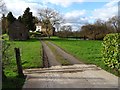
Lower Court, Munsley
Entrance to Lower Court next to the church in Munsley.
Image: © Philip Halling
Taken: 28 Jan 2019
0.17 miles
8
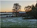
Barn at Lower Court (Munsley)
This stone and brick timber-framed structure is in the grounds of Lower Court, and this was possibly built in the seventeenth century. This does not have listed status as of December 2022.
Image: © Fabian Musto
Taken: 15 Dec 2022
0.17 miles
9
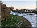
Lane at Munsley
This lane becomes a dead end at Lower Court, which is out-of-shot to the right. Taken from the start of the ascending path to St. Bartholomew parish church, and the snow was beginning to melt in Herefordshire at the time I took this photograph (it snowed four days earlier on Sunday 11th December).
Image: © Fabian Musto
Taken: 15 Dec 2022
0.19 miles
10
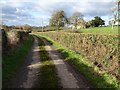
Road to Munsley church
No through road leading to Munsley church which can be seen on the right behind the tree.
Image: © Philip Halling
Taken: 28 Jan 2019
0.19 miles