
IMAGES TAKEN NEAR TO
Church Lane, BROMYARD, HR7 4DY
Introduction
This page details the photographs taken nearby to Church Lane, HR7 4DY by members of the Geograph project.
The Geograph project started in 2005 with the aim of publishing, organising and preserving representative images for every square kilometre of Great Britain, Ireland and the Isle of Man.

There are currently over 7.5m images from over14,400 individuals and you can help contribute to the project by visiting https://www.geograph.org.uk
Image Map
Images are licensed for reuse under creativecommons.org/licenses/by-sa/2.0
Notes
- Clicking on the map will re-center to the selected point.
- The higher the marker number, the further away the image location is from the centre of the postcode.
Image Listing (469 Images Found)
Images are licensed for reuse under creativecommons.org/licenses/by-sa/2.0
Image
Details
Distance
1
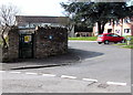
Church Lane electricity substation, Bromyard
Located on the corner of Church Lane and Kirkham Garden.
The Central Networks electricity substation identifier is CHURCH LANE S/S No 41380.
Image: © Jaggery
Taken: 19 Mar 2015
0.00 miles
2
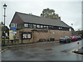
Bromyard Public Hall
The public hall is close-by to the almshouses, and this modern building was designed by Hewitt Studios, an architecture company.
Image: © Fabian Musto
Taken: 13 Oct 2019
0.03 miles
3
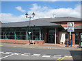
The Bromyard Centre - a one stop centre, Cruxwell Street
Opened in January 2004, the centre houses a library, Tourist Information, Info in Herefordshire, Leisure Services and Youth Centre. The library is open 7 days a week.
Image: © Pauline E
Taken: 18 May 2008
0.03 miles
4
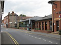
Bromyard - the library and leisure centre
The library is the building with a hipped roof. Nearer is the combined reception and seating area for both facilities.
Image: © Peter Whatley
Taken: 25 Sep 2008
0.03 miles
5
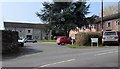
Kirkham Garden, Bromyard
Viewed from Church Lane. Some references show Kirkham Gardens whereas the name sign on the right has KIRKHAM GARDEN.
Image: © Jaggery
Taken: 19 Mar 2015
0.03 miles
6
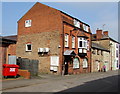
Bromyard Therapy Clinic
Physiotherapy, chiropody and beauty therapy clinic in Cruxwell Street.
Image: © Jaggery
Taken: 19 Mar 2015
0.03 miles
7
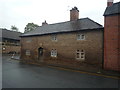
Bromyard Almshouses
Founded by the vicar Phineas Jackson in 1656, this nice stone building was formerly seven houses, until in 1962 when it became four flats.
Image: © Fabian Musto
Taken: 13 Oct 2019
0.03 miles
8
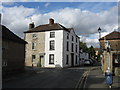
Building at the corner of Old Road and Kirkham Garden
Photographed from Rowberry Street.
Image: © Peter Whatley
Taken: 25 Oct 2011
0.03 miles
9
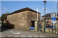
Junction of Church Lane and Rowberry Street, Bromyard
Viewed from the corner of Cruxwell Street. Turn left for Church Lane or right for Rowberry Street.
A small triangular non-standard sign on the wall states that Church Lane is unsuitable for HGVs (heavy goods vehicles).
Image: © Jaggery
Taken: 19 Mar 2015
0.03 miles
10
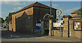
Bromyard Heritage Centre
The entrance is at the corner of Cruxwell Street (off to the left), Rowberry Street (right) and Church Lane (left) - the first two are on the B4203, while the Herefordshire Trail follows Cruxwell Street and Church Lane.
Image: © Derek Harper
Taken: 15 Jul 2021
0.03 miles