IMAGES TAKEN NEAR TO
Stoke Prior, LEOMINSTER, HR6 0NR
Introduction
This page details the photographs taken nearby to HR6 0NR by members of the Geograph project.
The Geograph project started in 2005 with the aim of publishing, organising and preserving representative images for every square kilometre of Great Britain, Ireland and the Isle of Man.

There are currently over 7.5m images from over14,400 individuals and you can help contribute to the project by visiting https://www.geograph.org.uk
Image Map
Images are licensed for reuse under creativecommons.org/licenses/by-sa/2.0
Notes
- Clicking on the map will re-center to the selected point.
- The higher the marker number, the further away the image location is from the centre of the postcode.
Image Listing (7 Images Found)
Images are licensed for reuse under creativecommons.org/licenses/by-sa/2.0
Image
Details
Distance
2
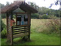
Humber Marsh
Solar panels belonging to a company based here called Wind and Sun.
Image: © andy dolman
Taken: 8 Aug 2008
0.06 miles
4
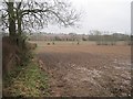
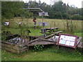
Mud
Yet more rain and the soil is gaining a liquid consistency. Herefordshire soils are often heavy.
Image: © Richard Webb
Taken: 26 Dec 2012
0.16 miles
5
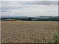
Rolling countryside near Steen's Bridge
Image: © Peter Whatley
Taken: 8 Sep 2008
0.22 miles
6
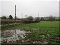
A wet field corner
2012, according to the records, the wettest year in England. The hedge has been removed to aid visibility where a minor road joins the A44.
Image: © Richard Webb
Taken: 26 Dec 2012
0.23 miles