IMAGES TAKEN NEAR TO
Lyonshall, KINGTON, HR5 3JG
Introduction
This page details the photographs taken nearby to HR5 3JG by members of the Geograph project.
The Geograph project started in 2005 with the aim of publishing, organising and preserving representative images for every square kilometre of Great Britain, Ireland and the Isle of Man.

There are currently over 7.5m images from over14,400 individuals and you can help contribute to the project by visiting https://www.geograph.org.uk
Image Map
Images are licensed for reuse under creativecommons.org/licenses/by-sa/2.0
Notes
- Clicking on the map will re-center to the selected point.
- The higher the marker number, the further away the image location is from the centre of the postcode.
Image Listing (13 Images Found)
Images are licensed for reuse under creativecommons.org/licenses/by-sa/2.0
Image
Details
Distance
2
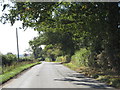
Approaching the turning to Cabal
The Shobdon-Lyonshall lane near Upper Marston.
Image: © Peter Whatley
Taken: 27 Sep 2011
0.06 miles
3

Old Mileplate in Rhyse Lane, Lyonshall parish
Cast iron plate by the UC Road (was on A44), in parish of LYONSHALL (District), now attached to cottage wall, in Rhyse Lane (was on main road), high on wall. Erected by the Kington turnpike trust in the 19th century.
Inscription reads:-
TO
KINGTON
4
MILES
Milestone Society National ID: HF_KGLM04.
Image: © Robert Walker
Taken: 20 Jan 2014
0.08 miles
4
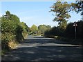
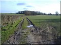
Approaching New House junction
Note the mirror in the distance opposite the minor road's entry.
Image: © Peter Whatley
Taken: 27 Sep 2011
0.12 miles
6
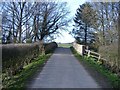
Railway bridge, Upper Marston
Carrying a farm access road, across the abandoned former GWR railway line, from Leominster to New Radnor.
Image: © Roger Cornfoot
Taken: 10 Mar 2007
0.15 miles
7
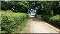
Bridge over the old Leominster and Kington Railway route
The lane running to Upper Marston Farm near Lyonshall, Herefordshire uses this bridge to cross the route of the old Leominster and Kington Railway
Wikipedia entry - https://en.wikipedia.org/wiki/Leominster_and_Kington_Railway
Image: © Peter Evans
Taken: 8 Jun 2020
0.16 miles
8

Cabal Lane
Cabal Lane at Upper Marston.
Image: © Philip Halling
Taken: 2 Feb 2018
0.18 miles
9
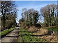
Cabal Lane
Approaching the trackbed of the Leominster and New Radnor line. The embankment has been recently breached to the right of the road.
Image: © Richard Webb
Taken: 14 Feb 2019
0.19 miles