
IMAGES TAKEN NEAR TO
Arthurs Stone Lane, HEREFORD, HR3 6AX
Introduction
This page details the photographs taken nearby to Arthurs Stone Lane, HR3 6AX by members of the Geograph project.
The Geograph project started in 2005 with the aim of publishing, organising and preserving representative images for every square kilometre of Great Britain, Ireland and the Isle of Man.

There are currently over 7.5m images from over14,400 individuals and you can help contribute to the project by visiting https://www.geograph.org.uk
Image Map
Images are licensed for reuse under creativecommons.org/licenses/by-sa/2.0
Notes
- Clicking on the map will re-center to the selected point.
- The higher the marker number, the further away the image location is from the centre of the postcode.
Image Listing (7 Images Found)
Images are licensed for reuse under creativecommons.org/licenses/by-sa/2.0
Image
Details
Distance
1
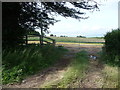
Footpath across meadows
A stile and finger post are an almost irresistible inducement to me.
Image: © Jeremy Bolwell
Taken: 17 Jul 2012
0.02 miles
2
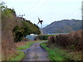
Stone Lane
The small turbine is working hard for Caeperthy Farm.
Image: © Jonathan Billinger
Taken: 28 Dec 2011
0.04 miles
3
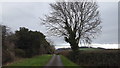
A tree by Stone Lane
A lone tree by the roadside.
Image: © Peter Mackenzie
Taken: 12 Feb 2019
0.11 miles
4
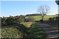
Arthur's Stone Lane (Dorstone)
This picture faces away from Arthur's Stone, located a ⅓ of a mile behind the photographer. We were heading to Moccas Park.
Image: © Fabian Musto
Taken: 2 Jan 2025
0.14 miles
5
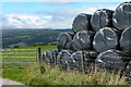
Hay Bluff and Black Mountains
Silage stacked in the corner of a field on the side of Arthur's Stone Lane near Upper Barn above the village of Dorstone in the Golden Valley. On the horizon is Hay Bluff and the Black Mountains.
Image: © Philip Halling
Taken: 29 Aug 2005
0.15 miles
6
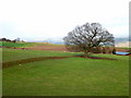
Oak tree at Upper Bodcott
Sheep being strip-grazed in the left distance.
Image: © Jonathan Billinger
Taken: 28 Dec 2011
0.17 miles
7
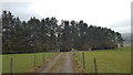
A track to the woods
A track from Stone Lane to a small coppice.
Image: © Peter Mackenzie
Taken: 12 Feb 2019
0.23 miles