
IMAGES TAKEN NEAR TO
Wormbridge, HEREFORD, HR2 9EG
Introduction
This page details the photographs taken nearby to HR2 9EG by members of the Geograph project.
The Geograph project started in 2005 with the aim of publishing, organising and preserving representative images for every square kilometre of Great Britain, Ireland and the Isle of Man.

There are currently over 7.5m images from over14,400 individuals and you can help contribute to the project by visiting https://www.geograph.org.uk
Image Map
Images are licensed for reuse under creativecommons.org/licenses/by-sa/2.0
Notes
- Clicking on the map will re-center to the selected point.
- The higher the marker number, the further away the image location is from the centre of the postcode.
Image Listing (26 Images Found)
Images are licensed for reuse under creativecommons.org/licenses/by-sa/2.0
Image
Details
Distance
1
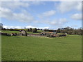
Cockyard Farm
On the sheltered side of the Brampton ridge.
Image: © Jonathan Billinger
Taken: 26 Feb 2007
0.01 miles
3
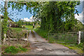
Cockyard Farm
Driveway to Cockyard Farm.
Image: © Ian Capper
Taken: 19 May 2021
0.02 miles
4
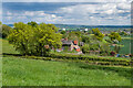
Cockyard Farm
Cockyard Farm viewed from the side of Cockyard Tump. The dishes beyond are in Madley Communications Centre, BT Group's earth satellite tracking station.
Image: © Ian Capper
Taken: 19 May 2021
0.02 miles
5
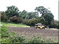
Combine harvester at Cockyard Farm
Clearing the field.
Image: © Oliver Dixon
Taken: 6 Sep 2020
0.03 miles
7
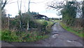
Track and footpath to Cockyard Farm
The path takes a zig-zag course genarally northwards to Gooses Foot Farm.
Image: © Jonathan Billinger
Taken: 23 Dec 2015
0.06 miles
8
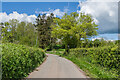
Lane near Cockyard
Lane running northwest from Cockyard with Nell's Wood ahead.
Image: © Ian Capper
Taken: 19 May 2021
0.08 miles
9
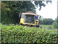
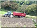
Combine harvester at Cockyard Farm
Clearing the field; hopefully about to turn and not break through the hedge!
Image: © Oliver Dixon
Taken: 6 Sep 2020
0.09 miles
10
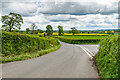
Lane junction
Lane junction near Cockyard, with straight on leading to Kingstone and right to Thruxton.
Image: © Ian Capper
Taken: 19 May 2021
0.09 miles