IMAGES TAKEN NEAR TO
Pencoyd, St. Owens Cross, HEREFORD, HR2 8NG
Introduction
This page details the photographs taken nearby to HR2 8NG by members of the Geograph project.
The Geograph project started in 2005 with the aim of publishing, organising and preserving representative images for every square kilometre of Great Britain, Ireland and the Isle of Man.

There are currently over 7.5m images from over14,400 individuals and you can help contribute to the project by visiting https://www.geograph.org.uk
Image Map
Images are licensed for reuse under creativecommons.org/licenses/by-sa/2.0
Notes
- Clicking on the map will re-center to the selected point.
- The higher the marker number, the further away the image location is from the centre of the postcode.
Image Listing (9 Images Found)
Images are licensed for reuse under creativecommons.org/licenses/by-sa/2.0
Image
Details
Distance
1
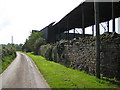
Roadside barns near The Hall
On a narrow country lane typical of the area.
Image: © Pauline E
Taken: 24 Sep 2008
0.01 miles
2
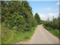
Narrow lane, typical of the area
Serving farms and isolated houses.
Image: © Pauline E
Taken: 24 Sep 2008
0.08 miles
4
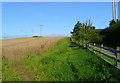
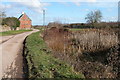
Edge of wheat
By the lane near The Hall, Pencoyd.
Image: © Jonathan Billinger
Taken: 28 Aug 2008
0.17 miles
5
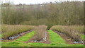
Blackcurrant plantation
An important crop in Herefordshire; the Ribena factory is nearby at Coleford, Gloucestershire.
Image: © Jonathan Billinger
Taken: 12 Jan 2019
0.17 miles
6
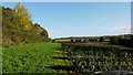
Blackcurrant crop
Planted through a black polythene mulch - for weed suppression and water retention.
Image: © Jonathan Billinger
Taken: 3 Nov 2013
0.21 miles
7
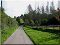
Downhill stretch to the crossroads at Treberon
One of the few places in this area of narrow lanes where you could pass oncoming traffic - not that there's much of it around.
Image: © Pauline E
Taken: 24 Sep 2008
0.21 miles
8
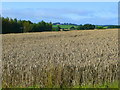
Wheatfield south-west of The Hall
In the distance is the church of St. Weonards.
Image: © Jonathan Billinger
Taken: 28 Aug 2008
0.23 miles