
IMAGES TAKEN NEAR TO
Llanveynoe, Longtown, HEREFORD, HR2 0NG
Introduction
This page details the photographs taken nearby to HR2 0NG by members of the Geograph project.
The Geograph project started in 2005 with the aim of publishing, organising and preserving representative images for every square kilometre of Great Britain, Ireland and the Isle of Man.

There are currently over 7.5m images from over14,400 individuals and you can help contribute to the project by visiting https://www.geograph.org.uk
Image Map
Images are licensed for reuse under creativecommons.org/licenses/by-sa/2.0
Notes
- Clicking on the map will re-center to the selected point.
- The higher the marker number, the further away the image location is from the centre of the postcode.
Image Listing (8 Images Found)
Images are licensed for reuse under creativecommons.org/licenses/by-sa/2.0
Image
Details
Distance
1
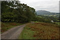
Mountain road below Red Darren
This road at its junction in Longtown is described as a mountain road. It contours at about 1000 feet above sea level along the side of the Black Mountains above the Olchon Valley. The Black Hill can be seen in the background.
Image: © Philip Halling
Taken: 30 Sep 2007
0.12 miles
2
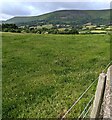
Hillside view from Llanveynoe, Herefordshire
Viewed from the edge of the village churchyard.
Image: © Jaggery
Taken: 26 Jun 2022
0.14 miles
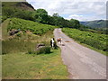
6
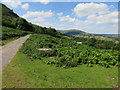
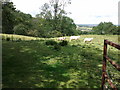
Road up Olchon Valley
Minor road along the south-western side of the valley.
Image: © Hugh Venables
Taken: 8 Aug 2015
0.21 miles
7
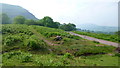
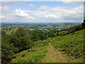
Access to Offa's Dyke
The start of a path which climbs the steep west side of the Hatterrall ridge from the picnic area car park on the Olchon valley road.
Image: © Jonathan Billinger
Taken: 9 Jun 2016
0.21 miles
8
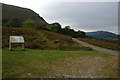
Information board at car park below Black Darren
The Black Hill, a spur wholly within Herefordshire can be seen in the background.
Image: © Philip Halling
Taken: 30 Sep 2007
0.23 miles