
IMAGES TAKEN NEAR TO
Lugwardine, HEREFORD, HR1 4AA
Introduction
This page details the photographs taken nearby to HR1 4AA by members of the Geograph project.
The Geograph project started in 2005 with the aim of publishing, organising and preserving representative images for every square kilometre of Great Britain, Ireland and the Isle of Man.

There are currently over 7.5m images from over14,400 individuals and you can help contribute to the project by visiting https://www.geograph.org.uk
Image Map
Images are licensed for reuse under creativecommons.org/licenses/by-sa/2.0
Notes
- Clicking on the map will re-center to the selected point.
- The higher the marker number, the further away the image location is from the centre of the postcode.
Image Listing (73 Images Found)
Images are licensed for reuse under creativecommons.org/licenses/by-sa/2.0
Image
Details
Distance
2
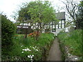
Malt House (Lugwardine)
Lovely timber-frame building that apparently dates from the 18th century, with 20th century alterations and additions. The original use of this building is unknown, although this could have been a malt house not long after it was built; this is now two tenements.
Image: © Fabian Musto
Taken: 24 Apr 2019
0.02 miles
3
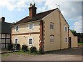
Semi-detached cottages, Lugwardine
The one on the right is Croft Cottage, currently up for sale.
Image: © Pauline E
Taken: 19 Sep 2008
0.02 miles
5
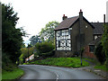
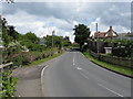
High House, Lugwardine
A 17th century house, T plan with cross wing at the east end. Also a 19th century blacksmith's workshop.
Image: © Pauline E
Taken: 19 Sep 2008
0.03 miles
6
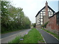
The A438 Road (Lugwardine)
High above the A438 road (seen on the left) is the High House, which was built around the 17th century, with alterations taking place in the 18th and late 19th centuries. The building itself was difficult to photograph from far away, as rushing cars thundered past on the A438 road in front of the house.
Image: © Fabian Musto
Taken: 24 Apr 2019
0.04 miles
7
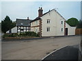
Croft Cottage (Lugwardine)
This 19th century cottage is joint up with a timber-frame building, and this cottage is now by the entrance to Bell Homes' new housing development called Quarry Field.
Image: © Fabian Musto
Taken: 24 Apr 2019
0.04 miles
8
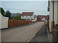
Quarry Field (Lugwardine)
Part of the new housing area planned by Bell Homes, these set of modern houses were built on the site of a field that was named after a quarry, which that name for the field was adapted as the main name for these houses. At the time I visited, they were near completion, so I predict they will be finished by the end of mid 2019.
Image: © Fabian Musto
Taken: 24 Apr 2019
0.04 miles
9
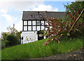
Half-timbered cottage, Lugwardine
From the footpath your head is level with the lawn of this pretty cottage near High House.
Image: © Pauline E
Taken: 19 Sep 2008
0.04 miles
10
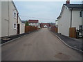
Quarry Field (Lugwardine)
Part of the new housing area planned by Bell Homes, these set of modern houses were built on the site of a field that was named after a quarry, which that name for the field was adapted as the main name for these houses. At the time I visited, they were near completion, so I predict they will be finished by the end of mid 2019.
Image: © Fabian Musto
Taken: 24 Apr 2019
0.04 miles