IMAGES TAKEN NEAR TO
Forest Way, HIGH WYCOMBE, HP13 7JF
Introduction
This page details the photographs taken nearby to Forest Way, HP13 7JF by members of the Geograph project.
The Geograph project started in 2005 with the aim of publishing, organising and preserving representative images for every square kilometre of Great Britain, Ireland and the Isle of Man.

There are currently over 7.5m images from over14,400 individuals and you can help contribute to the project by visiting https://www.geograph.org.uk
Image Map
Images are licensed for reuse under creativecommons.org/licenses/by-sa/2.0
Notes
- Clicking on the map will re-center to the selected point.
- The higher the marker number, the further away the image location is from the centre of the postcode.
Image Listing (12 Images Found)
Images are licensed for reuse under creativecommons.org/licenses/by-sa/2.0
Image
Details
Distance
1
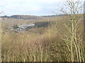
The view from Cock Lane
Houses in Woodside Road and Forest Way and the surrounding woodland, viewed from the cemetery in Cock Lane.
Image: © Andrew Smith
Taken: 4 Apr 2006
0.10 miles
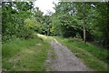
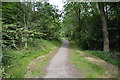
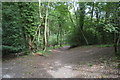
3
King's Wood
The view northwest from beside Cock Lane Cemetery. The wood densely covers the hillside between Totteridge and Tyler's Green.
Image: © Andrew Smith
Taken: 4 Apr 2006
0.16 miles
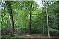
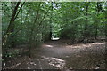
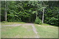
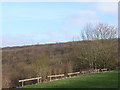
9
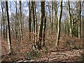
King's Wood, Chepping Wycombe
Beech woodland near the edge of Tylers Green.
Image: © Andrew Smith
Taken: 4 Mar 2017
0.20 miles