IMAGES TAKEN NEAR TO
Mickley, RIPON, HG4 3JH
Introduction
This page details the photographs taken nearby to HG4 3JH by members of the Geograph project.
The Geograph project started in 2005 with the aim of publishing, organising and preserving representative images for every square kilometre of Great Britain, Ireland and the Isle of Man.

There are currently over 7.5m images from over14,400 individuals and you can help contribute to the project by visiting https://www.geograph.org.uk
Image Map
Images are licensed for reuse under creativecommons.org/licenses/by-sa/2.0
Notes
- Clicking on the map will re-center to the selected point.
- The higher the marker number, the further away the image location is from the centre of the postcode.
Image Listing (8 Images Found)
Images are licensed for reuse under creativecommons.org/licenses/by-sa/2.0
Image
Details
Distance
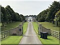
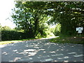
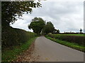
2
A track leading to buildings next to Newfield Farm
Image: © Ian S
Taken: 24 Jul 2011
0.11 miles
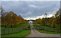
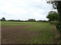
8
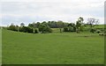
View towards Ten Acre Plantation
A shallow bowl without any stream. This is part of a system of old glacial spillways that can be found to the west and north west of Ripon.
Image: © Gordon Hatton
Taken: 13 May 2020
0.21 miles