IMAGES TAKEN NEAR TO
Pannal Ash Crescent, HARROGATE, HG2 0HT
Introduction
This page details the photographs taken nearby to Pannal Ash Crescent, HG2 0HT by members of the Geograph project.
The Geograph project started in 2005 with the aim of publishing, organising and preserving representative images for every square kilometre of Great Britain, Ireland and the Isle of Man.

There are currently over 7.5m images from over14,400 individuals and you can help contribute to the project by visiting https://www.geograph.org.uk
Image Map
Images are licensed for reuse under creativecommons.org/licenses/by-sa/2.0
Notes
- Clicking on the map will re-center to the selected point.
- The higher the marker number, the further away the image location is from the centre of the postcode.
Image Listing (62 Images Found)
Images are licensed for reuse under creativecommons.org/licenses/by-sa/2.0
Image
Details
Distance
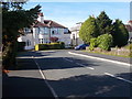
1
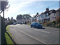
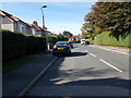
Pannal Ash Crescent - Pannal Ash Drive
Image: © Betty Longbottom
Taken: 3 Oct 2016
0.02 miles
2
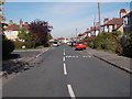
Pannal Ash Drive - off Pannal Ash Road
Image: © Betty Longbottom
Taken: 3 Oct 2016
0.04 miles
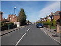
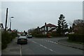
4
Harlow Avenue
Near the highest past of the town, Harlow Avenue has housing which dates back to the 1950's.
Image: © Gordon Hatton
Taken: 1 Feb 2021
0.05 miles
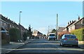
5
Pannal Ash Grove - Pannal Ash Drive
Image: © Betty Longbottom
Taken: 3 Oct 2016
0.05 miles
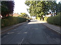
6
Pannal Ash Drive
Looking towards the postbox on the junction with Pannal Ash Grove.
Image: © DS Pugh
Taken: 1 Apr 2021
0.06 miles
8
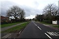
Pannal Ash Road
Near the junction with Richmond Avenue.
Image: © DS Pugh
Taken: 31 Dec 2024
0.07 miles
10

Pannal Ash Road - viewed from Richmond Avenue
Image: © Betty Longbottom
Taken: 3 Oct 2016
0.08 miles