
IMAGES TAKEN NEAR TO
Fieldway Close, HARROGATE, HG1 3JS
Introduction
This page details the photographs taken nearby to Fieldway Close, HG1 3JS by members of the Geograph project.
The Geograph project started in 2005 with the aim of publishing, organising and preserving representative images for every square kilometre of Great Britain, Ireland and the Isle of Man.

There are currently over 7.5m images from over14,400 individuals and you can help contribute to the project by visiting https://www.geograph.org.uk
Image Map
Images are licensed for reuse under creativecommons.org/licenses/by-sa/2.0
Notes
- Clicking on the map will re-center to the selected point.
- The higher the marker number, the further away the image location is from the centre of the postcode.
Image Listing (77 Images Found)
Images are licensed for reuse under creativecommons.org/licenses/by-sa/2.0
Image
Details
Distance
1
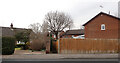
A path leaving Bilton Lane, Bilton, Harrogate
Image: © habiloid
Taken: 15 Feb 2023
0.04 miles
3
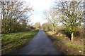
Start of Ripley greenway
Open for less than a year, this route leads from Bilton to Ripley.
Image: © DS Pugh
Taken: 22 Feb 2014
0.06 miles
4
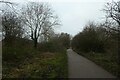
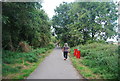
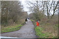
Greenway in Bilton
Looking along the Greenway leading to Ripley along the former railway line. This is NCN67.
Image: © DS Pugh
Taken: 21 Dec 2021
0.06 miles
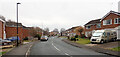
6
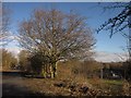
Nidderdale Greenway at Beck Farm
The newly-opened cycle trail along the line of the Nidd Valley Railway, with Beck Farm on the right beside the Bilton Beck.
Image: © Derek Harper
Taken: 5 Apr 2013
0.07 miles
8
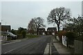
Woodfield Road
Looking towards the junction with Bilton Lane.
Image: © DS Pugh
Taken: 21 Dec 2021
0.07 miles
10
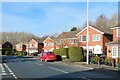
Tennyson Avenue, Bilton
Bilton is a major suburb of Harrogate occupying the NE part of the town. Expansion began in the 19thC and has continued ever since with most of the available land now developed. Tennyson Avenue represents some of the newest housing in the area where properties back on to the former railway line.
Image: © Gordon Hatton
Taken: 1 Feb 2021
0.08 miles