IMAGES TAKEN NEAR TO
Kent Avenue, HARROGATE, HG1 2ES
Introduction
This page details the photographs taken nearby to Kent Avenue, HG1 2ES by members of the Geograph project.
The Geograph project started in 2005 with the aim of publishing, organising and preserving representative images for every square kilometre of Great Britain, Ireland and the Isle of Man.

There are currently over 7.5m images from over14,400 individuals and you can help contribute to the project by visiting https://www.geograph.org.uk
Image Map
Images are licensed for reuse under creativecommons.org/licenses/by-sa/2.0
Notes
- Clicking on the map will re-center to the selected point.
- The higher the marker number, the further away the image location is from the centre of the postcode.
Image Listing (125 Images Found)
Images are licensed for reuse under creativecommons.org/licenses/by-sa/2.0
Image
Details
Distance
2
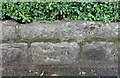
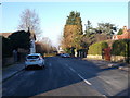
Harrogate, 44 Kent Road
This roadside garden wall for 44 Kent Road is on the north side of the road. There is a clear benchmark cut into the 2nd course of stone, and is about 1 foot above the level of the pavement.
Image: © Mel Towler
Taken: 8 Jul 2021
0.04 miles
3
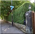
Harrogate, 44 Kent Road
This is a wider angle showing the roadside wall to the property on the north side of Kent Road. There is a benchmark cut into the 2nd course of stone.
Image: © Mel Towler
Taken: 8 Jul 2021
0.04 miles
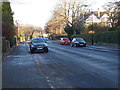
4
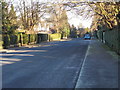
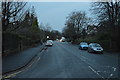
Kent Road - viewed from Kent Avenue
Image: © Betty Longbottom
Taken: 28 Dec 2016
0.04 miles
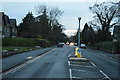
6
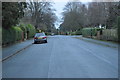
Kent Road - viewed from Kent Avenue
Image: © Betty Longbottom
Taken: 28 Dec 2016
0.04 miles
9
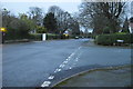
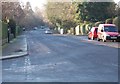
Duchy Road - viewed from Kent Avenue
Image: © Betty Longbottom
Taken: 28 Dec 2016
0.05 miles