IMAGES TAKEN NEAR TO
Moorbottom, HOLMFIRTH, HD9 6DN
Introduction
This page details the photographs taken nearby to Moorbottom, HD9 6DN by members of the Geograph project.
The Geograph project started in 2005 with the aim of publishing, organising and preserving representative images for every square kilometre of Great Britain, Ireland and the Isle of Man.

There are currently over 7.5m images from over14,400 individuals and you can help contribute to the project by visiting https://www.geograph.org.uk
Image Map
Images are licensed for reuse under creativecommons.org/licenses/by-sa/2.0
Notes
- Clicking on the map will re-center to the selected point.
- The higher the marker number, the further away the image location is from the centre of the postcode.
Image Listing (176 Images Found)
Images are licensed for reuse under creativecommons.org/licenses/by-sa/2.0
Image
Details
Distance
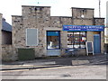
2
Pauls Family Butchers - Moor Bottom
Image: © Betty Longbottom
Taken: 19 Jun 2010
0.01 miles
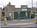
4
Honley Village Butchers - Moor Bottom
Image: © Betty Longbottom
Taken: 7 Feb 2017
0.02 miles
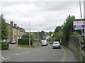
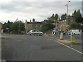
6
Westgate, Honley
Taken from the roundabout at the western end of the road. The shop on the right sells fish and chips. The yellow sign warns of speed plateaux.
Image: © Humphrey Bolton
Taken: 16 Aug 2007
0.03 miles
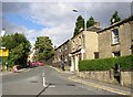
7
Thirstin Road - viewed from Westgate
Image: © Betty Longbottom
Taken: 19 Jun 2010
0.03 miles
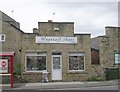
8
Country Beauty Hair Salon - Westgate
Image: © Betty Longbottom
Taken: 19 Jun 2010
0.03 miles
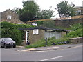
9
Back of Chapel Terrace - Moor Bottom
Image: © Betty Longbottom
Taken: 19 Jun 2010
0.03 miles
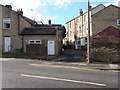
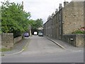
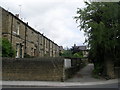
10
Moor Bottom towards Cuckoo Lane, Honley
Turn right for the village centre
Image: © Rob Taylor
Taken: 10 Aug 2005
0.03 miles