IMAGES TAKEN NEAR TO
Grand Stand, HUDDERSFIELD, HD7 4NQ
Introduction
This page details the photographs taken nearby to Grand Stand, HD7 4NQ by members of the Geograph project.
The Geograph project started in 2005 with the aim of publishing, organising and preserving representative images for every square kilometre of Great Britain, Ireland and the Isle of Man.

There are currently over 7.5m images from over14,400 individuals and you can help contribute to the project by visiting https://www.geograph.org.uk
Image Map
Images are licensed for reuse under creativecommons.org/licenses/by-sa/2.0
Notes
- Clicking on the map will re-center to the selected point.
- The higher the marker number, the further away the image location is from the centre of the postcode.
Image Listing (67 Images Found)
Images are licensed for reuse under creativecommons.org/licenses/by-sa/2.0
Image
Details
Distance
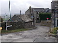
1
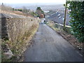
Old Lane - looking towards Taylor Lane
Image: © Betty Longbottom
Taken: 8 Dec 2015
0.01 miles
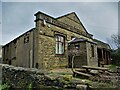
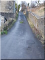
4
Scapegoat Hill Liberal Club - Old Lane
Built 1888.
Image: © Betty Longbottom
Taken: 8 Dec 2015
0.04 miles
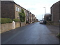

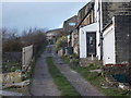
9

Vote Labour on the High Street, Scapegoat Hill
18 days before a general election.
Image: © Christine Johnstone
Taken: 19 Apr 2015
0.05 miles
