IMAGES TAKEN NEAR TO
Smith House Drive, BRIGHOUSE, HD6 2JT
Introduction
This page details the photographs taken nearby to Smith House Drive, HD6 2JT by members of the Geograph project.
The Geograph project started in 2005 with the aim of publishing, organising and preserving representative images for every square kilometre of Great Britain, Ireland and the Isle of Man.

There are currently over 7.5m images from over14,400 individuals and you can help contribute to the project by visiting https://www.geograph.org.uk
Image Map
Images are licensed for reuse under creativecommons.org/licenses/by-sa/2.0
Notes
- Clicking on the map will re-center to the selected point.
- The higher the marker number, the further away the image location is from the centre of the postcode.
Image Listing (74 Images Found)
Images are licensed for reuse under creativecommons.org/licenses/by-sa/2.0
Image
Details
Distance
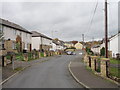
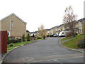
1
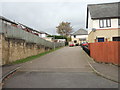
Smith House Close - Smith House Lane
Image: © Betty Longbottom
Taken: 9 Nov 2012
0.02 miles
4
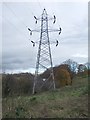
Electricity Pylon No PR 40 - off Smith House Lane
Image: © Betty Longbottom
Taken: 9 Nov 2012
0.04 miles
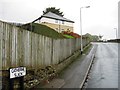
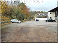
5
Smith House Drive - Smith House Lane
Image: © Betty Longbottom
Taken: 9 Nov 2012
0.05 miles
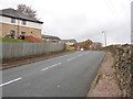
6
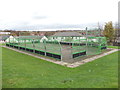
Sports Area - off Smith House Avenue
Image: © Betty Longbottom
Taken: 9 Nov 2012
0.05 miles
8
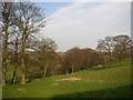
The valley of Hoyle House Beck, Brighouse
This green area separates Brighouse from Hipperholme.
Image: © Humphrey Bolton
Taken: 2 Apr 2007
0.06 miles
10
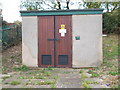
Electricity Substation No 1707 - Smith House Lane
Image: © Betty Longbottom
Taken: 9 Nov 2012
0.06 miles