IMAGES TAKEN NEAR TO
Armitage Road, HUDDERSFIELD, HD3 4JW
Introduction
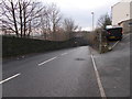
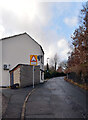
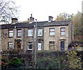
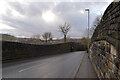
This page details the photographs taken nearby to Armitage Road, HD3 4JW by members of the Geograph project.
The Geograph project started in 2005 with the aim of publishing, organising and preserving representative images for every square kilometre of Great Britain, Ireland and the Isle of Man.

There are currently over 7.5m images from over14,400 individuals and you can help contribute to the project by visiting https://www.geograph.org.uk
Image Map
Images are licensed for reuse under creativecommons.org/licenses/by-sa/2.0
Notes
- Clicking on the map will re-center to the selected point.
- The higher the marker number, the further away the image location is from the centre of the postcode.
Image Listing (241 Images Found)
Images are licensed for reuse under creativecommons.org/licenses/by-sa/2.0
Image
Details
Distance
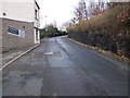
2
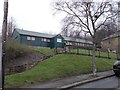
Milnsbridge Village Hall - Armitage Road
Image: © Betty Longbottom
Taken: 11 Jan 2016
0.05 miles
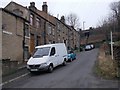
10
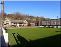
Bowling Green, George Street, Milnsbridge
Image: © habiloid
Taken: 21 Feb 2022
0.07 miles