
IMAGES TAKEN NEAR TO
Godalming Road, GODALMING, GU8 4BG
Introduction
This page details the photographs taken nearby to Godalming Road, GU8 4BG by members of the Geograph project.
The Geograph project started in 2005 with the aim of publishing, organising and preserving representative images for every square kilometre of Great Britain, Ireland and the Isle of Man.

There are currently over 7.5m images from over14,400 individuals and you can help contribute to the project by visiting https://www.geograph.org.uk
Image Map
Images are licensed for reuse under creativecommons.org/licenses/by-sa/2.0
Notes
- Clicking on the map will re-center to the selected point.
- The higher the marker number, the further away the image location is from the centre of the postcode.
Image Listing (28 Images Found)
Images are licensed for reuse under creativecommons.org/licenses/by-sa/2.0
Image
Details
Distance
2
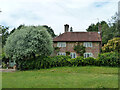
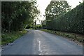
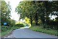
Raswell Cottage, Loxhill
Fronted by a very small green on the B2130, Godalming Road.
Image: © Robin Webster
Taken: 7 Jun 2011
0.03 miles
7
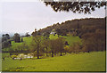
Pond, Loxhill.
This farm is on the lower slopes of Hascombe Hill which has a prehistoric hillfort on top of it. White deer [thanks - Mike] are grazing in the field.
Image: © Colin Smith
Taken: 23 Apr 2006
0.07 miles
8
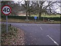
Junction of Hookhouse, Godalming and Dunsfold Roads
Image: © Shazz
Taken: 5 Jan 2011
0.10 miles
9
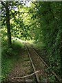
Disused narrow-gauge railway, by Gorebridge Green Farm (1)
The gauge is (at a guess) about 24 inches. The railway is not shown on recent OS sheets, and I knew nothing of its existence until I chanced upon it on this occasion. Behind the camera the track is traceable for perhaps 150m, beside the lane which leads (eventually) to Burgate Farm.
My guess is that the line was built to serve a quarry - though it also put me in mind of the potato railways of Lincolnshire.
Image: © Stefan Czapski
Taken: 6 Jun 2013
0.10 miles
10
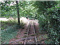
Disused narrow gauge track at Gorebridge Green Farm
From looking at Google Earth the track reaches about halfway along the adjoining field.
Image: © Dave Spicer
Taken: 22 Aug 2010
0.10 miles