IMAGES TAKEN NEAR TO
Hilliards View, CRANLEIGH, GU6 7FP
Introduction
This page details the photographs taken nearby to Hilliards View, GU6 7FP by members of the Geograph project.
The Geograph project started in 2005 with the aim of publishing, organising and preserving representative images for every square kilometre of Great Britain, Ireland and the Isle of Man.

There are currently over 7.5m images from over14,400 individuals and you can help contribute to the project by visiting https://www.geograph.org.uk
Image Map
Images are licensed for reuse under creativecommons.org/licenses/by-sa/2.0
Notes
- Clicking on the map will re-center to the selected point.
- The higher the marker number, the further away the image location is from the centre of the postcode.
Image Listing (22 Images Found)
Images are licensed for reuse under creativecommons.org/licenses/by-sa/2.0
Image
Details
Distance
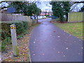
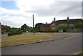
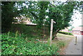
1
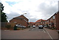
Roberts Way, Cranleigh
The very northern edge of the town. This road is so new it is still not shown on the OS map.
Image: © N Chadwick
Taken: 4 Jul 2010
0.06 miles
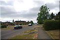
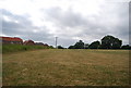
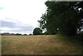
3
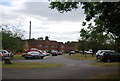
Wyphurst Rd
Housing estate in the northern part of town.
Image: © N Chadwick
Taken: 4 Jul 2010
0.08 miles