
IMAGES TAKEN NEAR TO
Blackheath Lane, GUILDFORD, GU5 9AU
Introduction
This page details the photographs taken nearby to Blackheath Lane, GU5 9AU by members of the Geograph project.
The Geograph project started in 2005 with the aim of publishing, organising and preserving representative images for every square kilometre of Great Britain, Ireland and the Isle of Man.

There are currently over 7.5m images from over14,400 individuals and you can help contribute to the project by visiting https://www.geograph.org.uk
Image Map
Images are licensed for reuse under creativecommons.org/licenses/by-sa/2.0
Notes
- Clicking on the map will re-center to the selected point.
- The higher the marker number, the further away the image location is from the centre of the postcode.
Image Listing (50 Images Found)
Images are licensed for reuse under creativecommons.org/licenses/by-sa/2.0
Image
Details
Distance
1
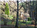
Rural Life, Blackheath
Isolated cottage north-east of Blackheath village. The cottage is next to Blackheath Common with its dense network of paths and tracks.
Image: © Colin Smith
Taken: 1 Dec 2007
0.07 miles
2
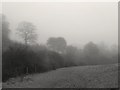
Foggy day at Albury (8)
Looking downstream along the Lawbrook valley. The hedge conceals a fish-farm, perhaps established on the site of old watercress beds.
The first item in this sequence is Image
Image: © Stefan Czapski
Taken: 17 Dec 2016
0.11 miles
5
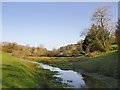
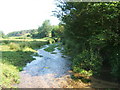
Lawbrook, view upstream
Not far upstream you come to a trout farm (screened by hedges) and beyond that the old farm buildings at Ford Farm. In many places along the brook there are good growths of watercress - traces of commercial exploitation in the past.
Image: © Stefan Czapski
Taken: 15 Apr 2015
0.13 miles
6
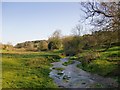
Lawbrook, upstream from Blackheath Lane
Looking upstream (and roughly south-east) from a point close to Blackheath Lane. There is a good deal of watercress growing along this little river, and this must once have been exploited commercially - the words 'Watercress Beds (disused)' appear on the map a little downstream.
Although a number of minor roads cross the Lawbrook valley at various points, there is no road that runs along it, so that it feels very secluded by the standards of south-east England. There is - it has to be said - a railway line, but there are only a few trains per hour, and they don't intrude for long.
Image: © Stefan Czapski
Taken: 15 Apr 2015
0.14 miles
7
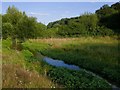
The Lawbrook
Looking upstream.
In the shady foreground are the remains of an old watercress bed. The local economy still makes use of the waters of the brook, as there is a fish-farm a short distance upstream, beyond the fence.
Image: © Stefan Czapski
Taken: 15 Jul 2019
0.14 miles
8
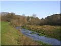
Lawbrook: view upstream towards the trout farm
The fence across the stream appears to mark the downstream end of the trout farm. Beyond it - on the south side of the stream - there is a chain of rectangular pools.
Visible in the foreground of this shot are large clumps of watercress - perhaps traces of the beds which were part of the local economy in the days before fish-farms.
Image: © Stefan Czapski
Taken: 15 Apr 2015
0.14 miles
9
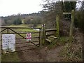
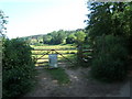
Footpath stile south of Albury
The first geograph for this grid square is of a very similar view (http://www.geograph.org.uk/photo/187697 ). The security notice on the gate has been added since then.
Image: © Shazz
Taken: 1 Feb 2011
0.14 miles
10
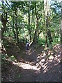
Bridleway in Blackheath Forest near Albury
Image: © Roger Miller
Taken: 17 Jun 2006
0.14 miles