IMAGES TAKEN NEAR TO
Blackheath Lane, GUILDFORD, GU5 0PN
Introduction
This page details the photographs taken nearby to Blackheath Lane, GU5 0PN by members of the Geograph project.
The Geograph project started in 2005 with the aim of publishing, organising and preserving representative images for every square kilometre of Great Britain, Ireland and the Isle of Man.

There are currently over 7.5m images from over14,400 individuals and you can help contribute to the project by visiting https://www.geograph.org.uk
Image Map
Images are licensed for reuse under creativecommons.org/licenses/by-sa/2.0
Notes
- Clicking on the map will re-center to the selected point.
- The higher the marker number, the further away the image location is from the centre of the postcode.
Image Listing (36 Images Found)
Images are licensed for reuse under creativecommons.org/licenses/by-sa/2.0
Image
Details
Distance
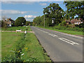
1
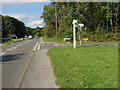
Blackheath Lane junction
The junction of Blackheath Lane with King's Road just north of Wonersh village.
Image: © Alan Hunt
Taken: 2 Sep 2014
0.08 miles
2
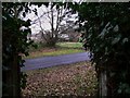
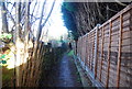
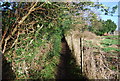
Footpath arrives at Blackheath Lane north of Wonersh
Image: © Shazz
Taken: 1 Feb 2011
0.09 miles
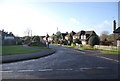
5
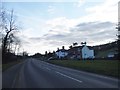
King's Road, Wonersh
Looking north along King's Road as it leaves Wonersh village.
Image: © Alan Hunt
Taken: 2 Sep 2014
0.10 miles
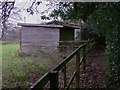
8
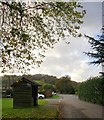
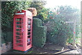
Blackheath Lane, Wonersh, in October
What you might call a suburban backwater, at some distance from Wonersh village centre. And yes, that's a bus shelter.
Image: © Stefan Czapski
Taken: 19 Oct 2014
0.11 miles