IMAGES TAKEN NEAR TO
The Crescent, ALTON, GU34 5EG
Introduction
This page details the photographs taken nearby to The Crescent, GU34 5EG by members of the Geograph project.
The Geograph project started in 2005 with the aim of publishing, organising and preserving representative images for every square kilometre of Great Britain, Ireland and the Isle of Man.

There are currently over 7.5m images from over14,400 individuals and you can help contribute to the project by visiting https://www.geograph.org.uk
Image Map
Images are licensed for reuse under creativecommons.org/licenses/by-sa/2.0
Notes
- Clicking on the map will re-center to the selected point.
- The higher the marker number, the further away the image location is from the centre of the postcode.
Image Listing (16 Images Found)
Images are licensed for reuse under creativecommons.org/licenses/by-sa/2.0
Image
Details
Distance
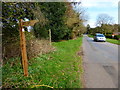
1
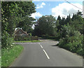
Roe Downs Road crosrsoads
Beechlands Road is opposite, with Red Hill Road to the left and Five Ash Road to the right.
Image: © Stuart Logan
Taken: 7 Aug 2011
0.07 miles
3
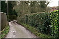
Stoney Lane
Running from Five Ash Road to Medstead and Four Marks railway station.
Image: © Peter Trimming
Taken: 30 Dec 2017
0.15 miles
4
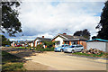
Beechlands Road, Four Marks
Away from the Station, Four Marks is a fairly suburban, mainly 20th century place.
Image: © Des Blenkinsopp
Taken: 24 Aug 2018
0.15 miles
5
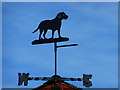
Weatherdog on Stoney Lane
It seems any direction does.
Image: © Shazz
Taken: 24 Mar 2014
0.18 miles
6
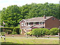
Medstead
Modern housing in the south-eastern reaches of Medstead, beside Chawton Park Wood, a National trust-owned property.
Image: © Colin Smith
Taken: 21 May 2011
0.19 miles
7
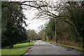
Five Ash Road
Located to the north of Medstead and Four Marks railway station.
Image: © Peter Trimming
Taken: 30 Dec 2017
0.20 miles