IMAGES TAKEN NEAR TO
Oakwood View, The Shrave, ALTON, GU34 5DX
Introduction
This page details the photographs taken nearby to Oakwood View, The Shrave, GU34 5DX by members of the Geograph project.
The Geograph project started in 2005 with the aim of publishing, organising and preserving representative images for every square kilometre of Great Britain, Ireland and the Isle of Man.

There are currently over 7.5m images from over14,400 individuals and you can help contribute to the project by visiting https://www.geograph.org.uk
Image Map
Images are licensed for reuse under creativecommons.org/licenses/by-sa/2.0
Notes
- Clicking on the map will re-center to the selected point.
- The higher the marker number, the further away the image location is from the centre of the postcode.
Image Listing (12 Images Found)
Images are licensed for reuse under creativecommons.org/licenses/by-sa/2.0
Image
Details
Distance
1
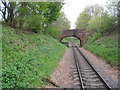
Bridge over the Watercress Line
From the maps this no longer appears to be linking any places of significance. In the past it would have provided access for farmers with land either side of the railway cutting.
Image: © Mr Ignavy
Taken: 9 May 2010
0.06 miles
2
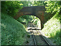
Bridge 58
On the Mid Hants Railway, an accommodation bridge that seems little used now.
Image: © Robin Webster
Taken: 9 Jul 2013
0.06 miles
3
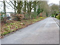
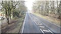
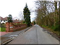
Looking westwards on The Shrave
The traffic on the left is on the A31.
Image: © Shazz
Taken: 24 Mar 2014
0.09 miles
6
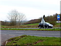
Junction of the eastern end of The Shrave with the A31
Image: © Shazz
Taken: 24 Mar 2014
0.16 miles
8
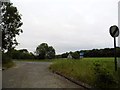
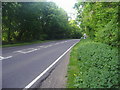
The Shrave at the junction of the A31, Four Marks
The Shrave runs parallel to the A31 giving access to houses for around a mile.
Image: © David Howard
Taken: 16 Jun 2018
0.19 miles
9

Emerging from a cutting
Looking back along the Watercress Line after passing through the last cutting east of Four Marks.
Image: © Mr Ignavy
Taken: 9 May 2010
0.19 miles