IMAGES TAKEN NEAR TO
Old House Gardens, ALTON, GU34 3AN
Introduction
This page details the photographs taken nearby to Old House Gardens, GU34 3AN by members of the Geograph project.
The Geograph project started in 2005 with the aim of publishing, organising and preserving representative images for every square kilometre of Great Britain, Ireland and the Isle of Man.

There are currently over 7.5m images from over14,400 individuals and you can help contribute to the project by visiting https://www.geograph.org.uk
Image Map
Images are licensed for reuse under creativecommons.org/licenses/by-sa/2.0
Notes
- Clicking on the map will re-center to the selected point.
- The higher the marker number, the further away the image location is from the centre of the postcode.
Image Listing (109 Images Found)
Images are licensed for reuse under creativecommons.org/licenses/by-sa/2.0
Image
Details
Distance
1
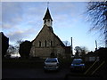
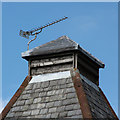
St Mary's Church, East Worldham
This is a 13th century church but replaced an earlier one on the same site.
Image: © Graham Clutton
Taken: 1 Jan 2006
0.04 miles
6
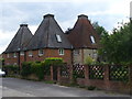
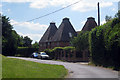
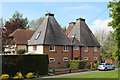
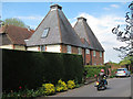
Wyck Lane Oasts
Three old kilns are a distinctive feature in the former hop-growing village of East Worldham. Nearby breweries were in Alton and Farnham.
http://worldham.org/
Image: © Colin Smith
Taken: 8 Aug 2010
0.04 miles
7
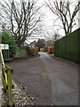
Access road from St Mary, East Worldham to the main road
Image: © Basher Eyre
Taken: 6 Feb 2010
0.05 miles
8
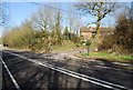
Worldham Hill (B3004), Wycks Lane junction, East Worldham
Image: © N Chadwick
Taken: 8 Mar 2009
0.06 miles
9
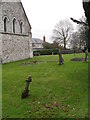
Sloping cross in the churchyard at St Mary, East Worldham
Image: © Basher Eyre
Taken: 6 Feb 2010
0.06 miles