IMAGES TAKEN NEAR TO
Nether Street, ALTON, GU34 1EA
Introduction
This page details the photographs taken nearby to Nether Street, GU34 1EA by members of the Geograph project.
The Geograph project started in 2005 with the aim of publishing, organising and preserving representative images for every square kilometre of Great Britain, Ireland and the Isle of Man.

There are currently over 7.5m images from over14,400 individuals and you can help contribute to the project by visiting https://www.geograph.org.uk
Image Map
Images are licensed for reuse under creativecommons.org/licenses/by-sa/2.0
Notes
- Clicking on the map will re-center to the selected point.
- The higher the marker number, the further away the image location is from the centre of the postcode.
Image Listing (466 Images Found)
Images are licensed for reuse under creativecommons.org/licenses/by-sa/2.0
Image
Details
Distance
2
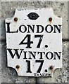
Alton - Milestone
On Normandy Street, 47 miles from London and 17 miles from Winchester.
www.alton.gov.uk
Image: © Colin Smith
Taken: 9 May 2017
0.02 miles
3
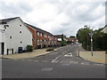
Normandy Street, Alton
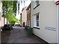
Normandy Street in the centre of Alton, in Hampshire.
Image: © Malc McDonald
Taken: 21 Jul 2019
0.02 miles
6

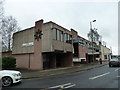
Queen Elizabeth Place: apartments
On the site of the old police station https://www.geograph.org.uk/photo/6360802
Image: © Basher Eyre
Taken: 7 Jan 2023
0.03 miles
8
Victoria Road, Alton
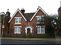
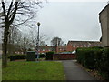
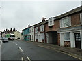
Victoria Road is a residential road close to the centre of Alton, in Hampshire.
Image: © Malc McDonald
Taken: 21 Jul 2019
0.03 miles
9
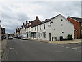
Lorry heading north-eastwards up the High Street
Image: © Basher Eyre
Taken: 5 Jan 2013
0.03 miles