
IMAGES TAKEN NEAR TO
Blackmoor, LISS, GU33 6BT
Introduction
This page details the photographs taken nearby to GU33 6BT by members of the Geograph project.
The Geograph project started in 2005 with the aim of publishing, organising and preserving representative images for every square kilometre of Great Britain, Ireland and the Isle of Man.

There are currently over 7.5m images from over14,400 individuals and you can help contribute to the project by visiting https://www.geograph.org.uk
Image Map
Images are licensed for reuse under creativecommons.org/licenses/by-sa/2.0
Notes
- Clicking on the map will re-center to the selected point.
- The higher the marker number, the further away the image location is from the centre of the postcode.
Image Listing (8 Images Found)
Images are licensed for reuse under creativecommons.org/licenses/by-sa/2.0
Image
Details
Distance
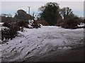
2
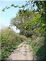
Eveley Lane
A rutted sandy byway crossing heathland south of Blackmoor Golf Club.
Image: © Colin Smith
Taken: 21 Apr 2007
0.13 miles
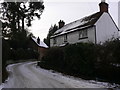
4
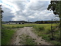
Wandering westwards along the Bashire (13)
Fruit farm at Blackmoor
Running total: 35 B points
Image: © Basher Eyre
Taken: 19 Oct 2016
0.20 miles
5
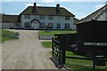
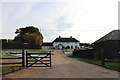
Old Albury Farm.
A very imposing building with incredibly neatly kept grounds. This is in the middle of agricultural land.
Image: © Andrya Prescott
Taken: 6 Jun 2006
0.21 miles
7
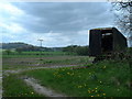
Blackmoor looking towards Noar Hill
I think the mobile hut is to shelter the fruit pickers later in the year
Image: © John Phillips
Taken: 1 May 2006
0.24 miles
8
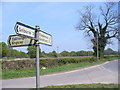
Road Junction near Blackmoor
East Hampshire country lanes. On Honey Lane at the Oakhanger road end.
Image: © Colin Smith
Taken: 21 Apr 2007
0.24 miles