IMAGES TAKEN NEAR TO
London Road, PETERSFIELD, GU31 5AB
Introduction
This page details the photographs taken nearby to London Road, GU31 5AB by members of the Geograph project.
The Geograph project started in 2005 with the aim of publishing, organising and preserving representative images for every square kilometre of Great Britain, Ireland and the Isle of Man.

There are currently over 7.5m images from over14,400 individuals and you can help contribute to the project by visiting https://www.geograph.org.uk
Image Map
Images are licensed for reuse under creativecommons.org/licenses/by-sa/2.0
Notes
- Clicking on the map will re-center to the selected point.
- The higher the marker number, the further away the image location is from the centre of the postcode.
Image Listing (69 Images Found)
Images are licensed for reuse under creativecommons.org/licenses/by-sa/2.0
Image
Details
Distance
1
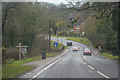
Sheet : London Road A272
Heading into Sheet on the A272.
Image: © Lewis Clarke
Taken: 28 Mar 2018
0.02 miles
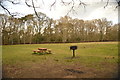
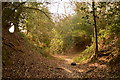
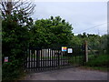
3
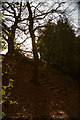
Footpath from Old Mill Field to Sheet Common
Image: © Basher Eyre
Taken: 11 Jun 2022
0.10 miles
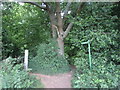
4
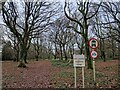
Steps at junction of bridleway and footpaths
Image: © Martyn Pattison
Taken: 3 Apr 2020
0.10 miles

8
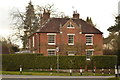
Large house at the corner of Village Street and London Road
Image: © Martyn Pattison
Taken: 3 Apr 2020
0.12 miles
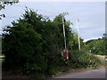
10
Southern Water sub-station in Mill Lane
Image: © Basher Eyre
Taken: 28 Jun 2022
0.12 miles