
IMAGES TAKEN NEAR TO
West Lavington, MIDHURST, GU29 0AU
Introduction
This page details the photographs taken nearby to GU29 0AU by members of the Geograph project.
The Geograph project started in 2005 with the aim of publishing, organising and preserving representative images for every square kilometre of Great Britain, Ireland and the Isle of Man.

There are currently over 7.5m images from over14,400 individuals and you can help contribute to the project by visiting https://www.geograph.org.uk
Image Map
Images are licensed for reuse under creativecommons.org/licenses/by-sa/2.0
Notes
- Clicking on the map will re-center to the selected point.
- The higher the marker number, the further away the image location is from the centre of the postcode.
Image Listing (10 Images Found)
Images are licensed for reuse under creativecommons.org/licenses/by-sa/2.0
Image
Details
Distance
1
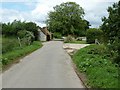
Kennels Dairy west of Midhurst
Another farm which is part of the Cowdray Park Estate.
Image: © Dave Spicer
Taken: 19 Jun 2011
0.01 miles
2
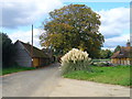
Balls Barn on the New Lipchis Way
Autumn colours and Cowdray yellow go well together.
Image: © Shazz
Taken: 29 Sep 2008
0.02 miles
3
Dairy cattle in fields near Kennels Dairy
Image: © Dave Spicer
Taken: 19 Jun 2011
0.10 miles
6
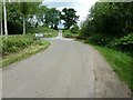
Sharp bend on Selham Road approaching West Lavington
The private road and bridleway straight ahead is part of the New Lipchis Way.
Image: © Dave Spicer
Taken: 19 Jun 2011
0.19 miles
8
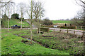
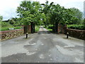
Corner and Bridge, Selham Road
The gates on the right are an entrance to the Cowdray estate. The pickup is following the public lane around to the left. The stream flows into the Rother.
Image: © Robin Webster
Taken: 13 Feb 2007
0.21 miles
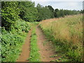
10
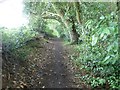
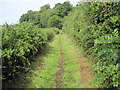
New Lipchis Way along woodland path called King John's Walk
Image: © Dave Spicer
Taken: 19 Jun 2011
0.24 miles